Backpacking the Jordan River Pathway – May 4 & 5, 2013
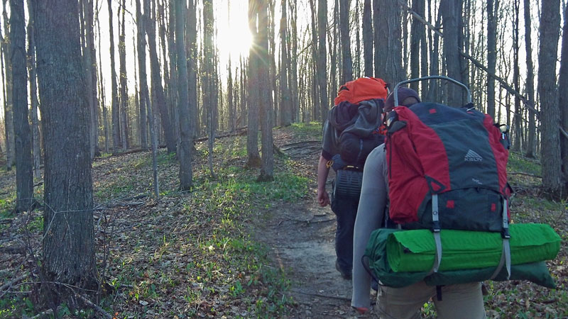
The Jordan River Pathway is one of the top overnight backpacking trips in lower Michigan. This trail has a little of everything from scenic overlooks, wooded valleys and the pristine Jordan River which was Michigan’s first National Wild and Scenic River. The 18.5 mile loop starts at the Deadman’s Hill Overlook just North of Alba, Michigan. The loop is typically hiked counter clockwise, but we decided to do the trail in reverse. By doing it this way we hiked the longer and more difficult 10.5 mile section on the first day. This left us with a nice 8 mile hike back along the river on Sunday morning.
(Update: Today it more commonly called the Jordan Valley Pathway)
After an unusually cool and wet spring we were blessed with mostly sunny skies and temperatures in the mid 70s for this trip. It sounds like the prior weekend there was still some snow left in the woods up here. With the recent cool weather we were surprised when at times we were attached by swarms of gnats along the trail and at camp. Other than a few bugs it was the perfect weekend for this backpacking trip.
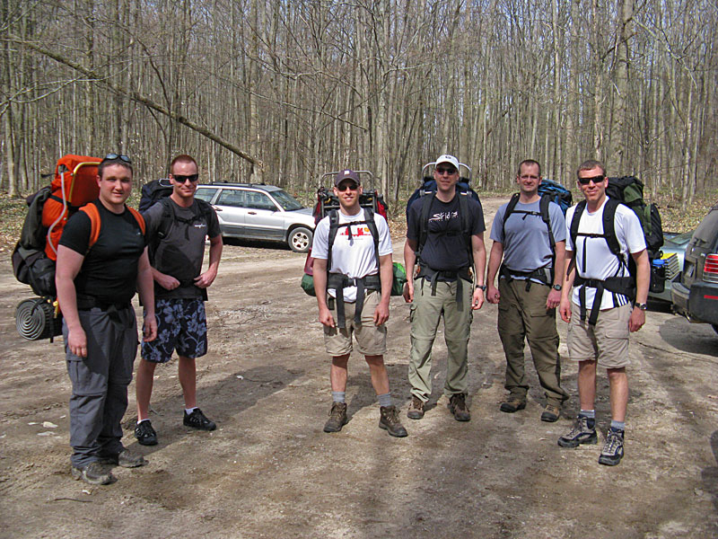
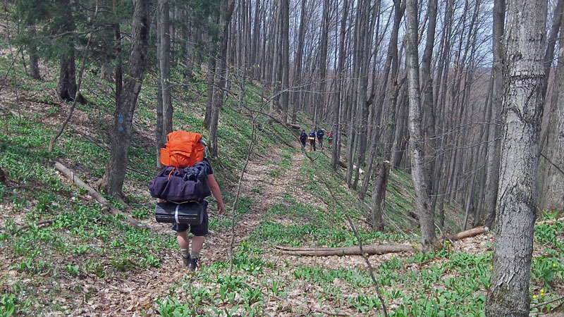
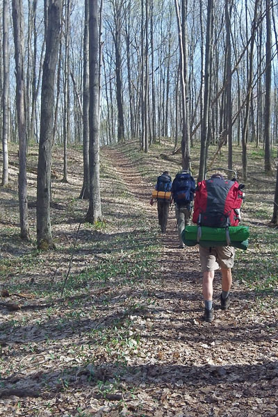
Our group was ready to head down the trail just after 10 a.m. on Saturday morning. Photo by J.V.
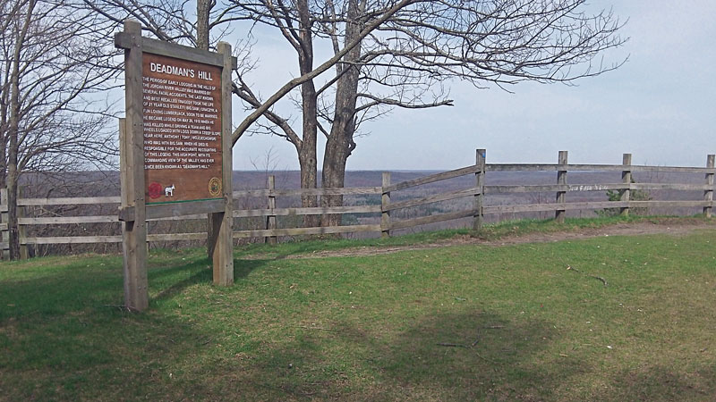
When hiking the trail in reverse you start by heading south along the fence on top of Deadman’s Hill.
The story of Deadman’s Hill from the sign above: “The period of early logging in the hills of the Jordan River Valley was marred by several fatal accidents. The last known and the best recalled tragedy took the life of 21 year old Stanley (Big Sam) Graczyk, a fun loving lumberjack, soon to married. He became legend on May 20, 1910 when he was killed while driving a team and big wheels loaded loaded with logs down a steep slope near hear. Anthony (Tony) Wojiechowski who was with Big Sam when he died is responsible for the accurate recounting of this legend. This high point with it’s commanding view of the valley, has ever since been known as Deadman’s Hill.”
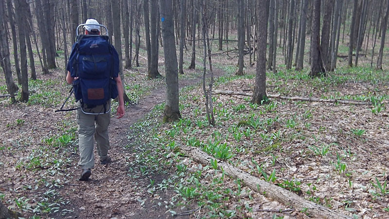
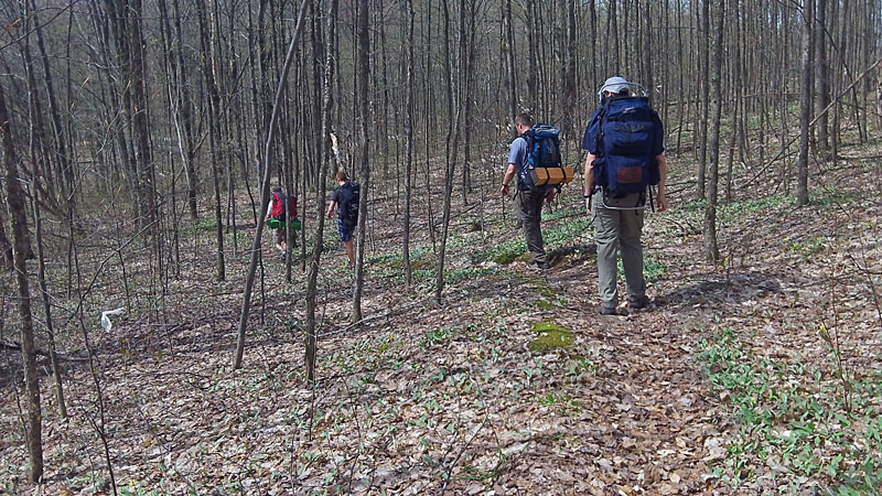
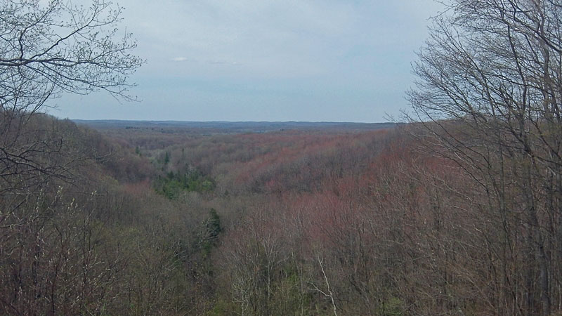
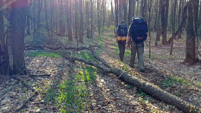
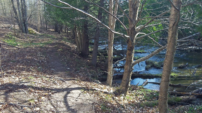
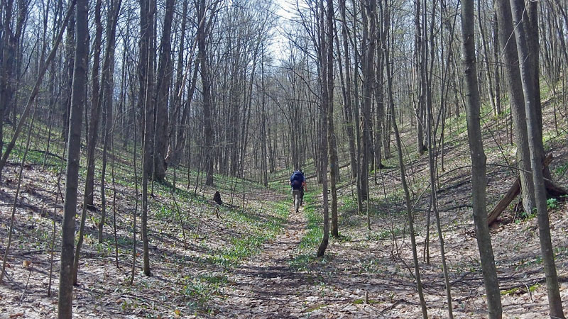
The first few miles of trail are relatively flat through mostly hardwoods. Things were just starting to green on the forest floor and trees were just starting to bud. Without the leaves you could see well into woods making for interesting views that will be hidden later in the season.
After crossing the paved Tunner Road (The Fish Hatchery Road) the trail starts dropping down into the Jordan River Valley.
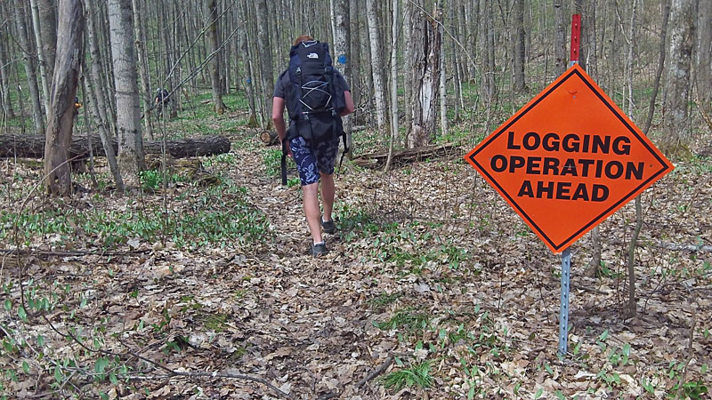
There was what looked to be a fairly large logging operation going on near this section of trail this past winter. By the looks of all the marks painted on the trees there are still plans to thin more trees in the future.
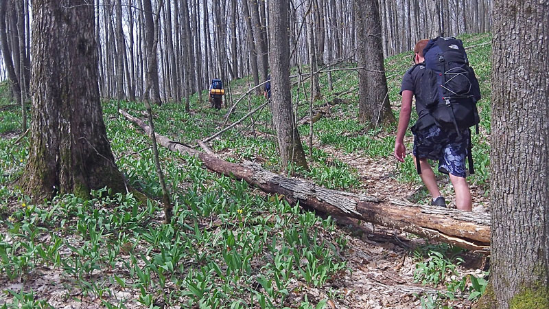
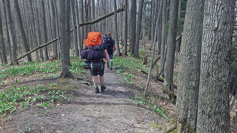
There was still a lot of dead fall across the trail at this time of the year. We did meet a DNR employee working on clearing the first couple miles of trail with a chainsaw. They still have a lot of work to do.
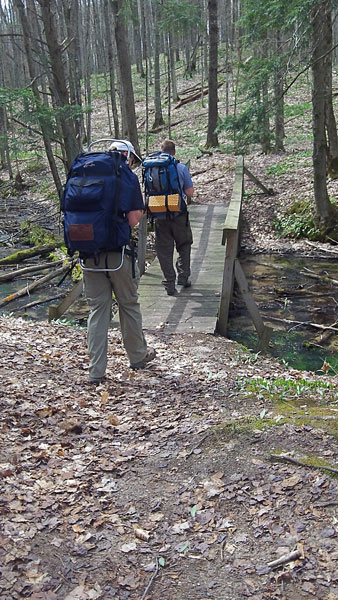
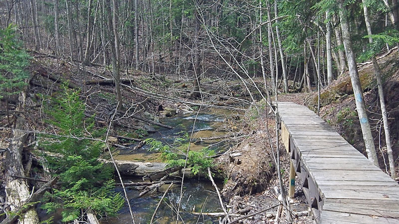
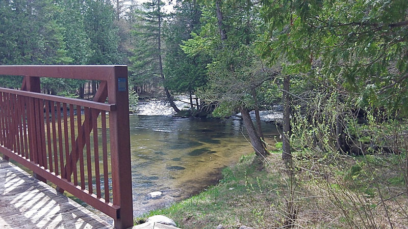
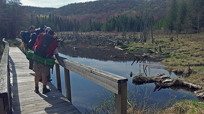
Crossing the first unnamed creek.
Looking upstream from the hiker bridge.
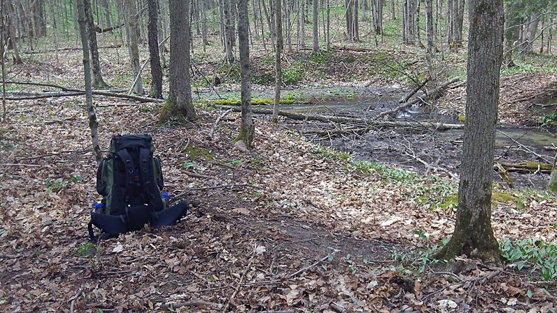
After a few hours of hiking it felt good to take off the backpack and break for lunch along Section Thirteen Creek.
After crossing the foot bridge over Section Thirteen Creek the trail starts climbing up out of the valley.
After some climbing you come to the Landslide Overlook.
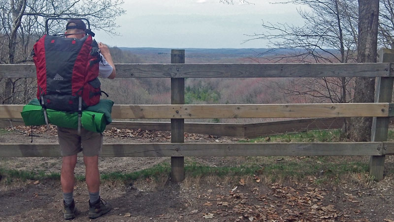
From the overlook you could hear, but not see, the water flowing out of the springs at the bottom of the hill that combine to form Landslide Creek. If you need a pit stop, there is pit toilet just up the trail by the parking lot for the overlook.
Walking along the top of the ridge after leaving the overlook.
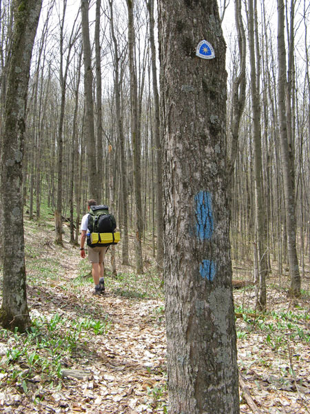
At the Landslide Overlook The North Country Trail merges onto the Jordan River Pathway. After this the trail blazes start looking like blue exclamation marks. The rectangles are for the NCT and the dots mark the JRP. Photo by J.V.
Heading back down into the valley.
The bridge along the edge of Cascade Creek. Just past here you cross the stream and then Cascade Road.
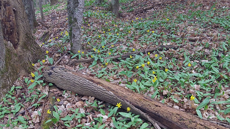
The spring wild flowers were just starting to bloom along the trail.
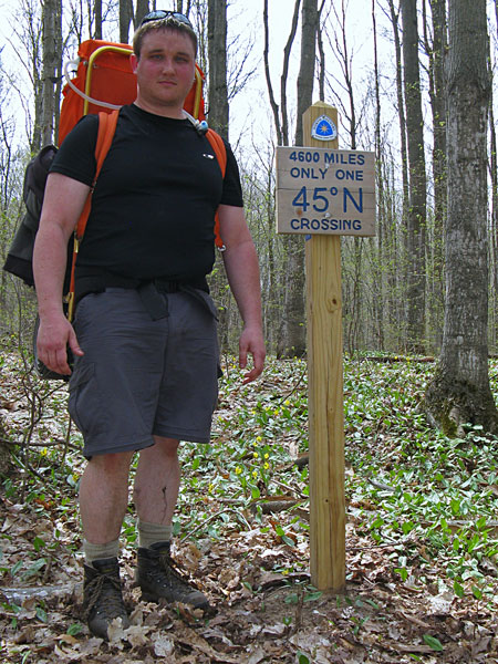
Crossing the 45th parallel. Photo of and by J.V.
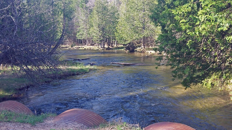
After about 5 hours of hiking we made it to Pinney Bridge over the Jordan River.
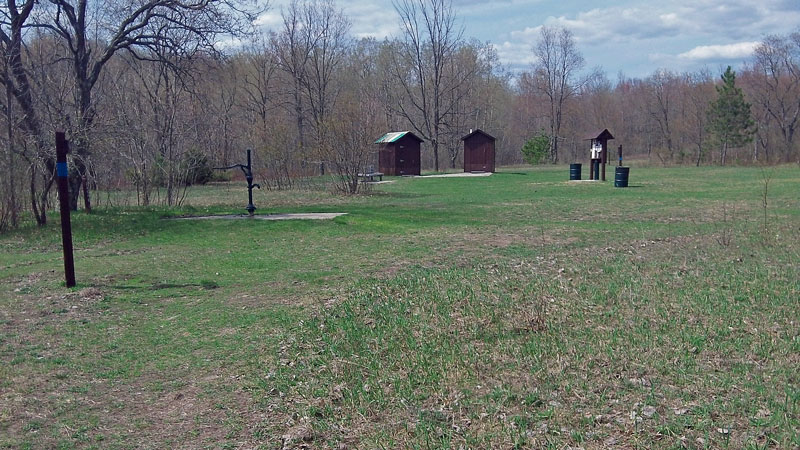
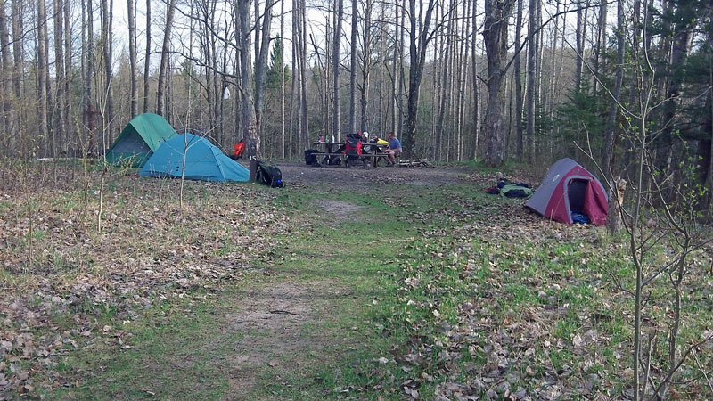
The Pinney Bridge campground has 15 campsites that are fairly well spaced around the outside of a grassy clearing. Back in 1915 this was the site of Logging Camp #2 of the East Jordan Lumber Company. About 60 men lived here in barrack type home mounted on top of flat railroad cars.
It is a little disappointing to walk all day and then setup camp less than a 1/4 mile from where you can park your car at Pinney Bridge. However, in this case you are trading the seclusion of a back country campsite for the convince of pit toilets, trash barrels, picnic tables and a hand pump for water. All of which are nice after a long day on the trail. Campsites are $13 per night and payments can be made by depositing cash or check into the pipe by the contact board.
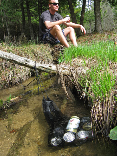
After dropping off our packs at a campsite we headed down to soak our feet and few beers in the cool waters of the Jordan River. Photo by J.V.
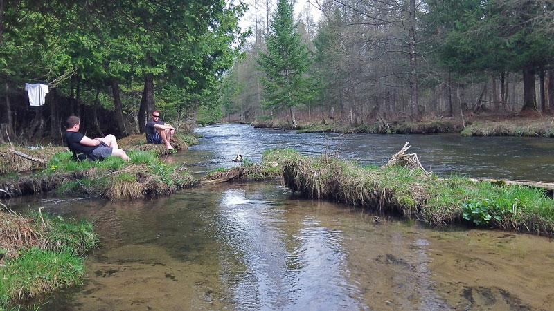
Relaxing along the River.
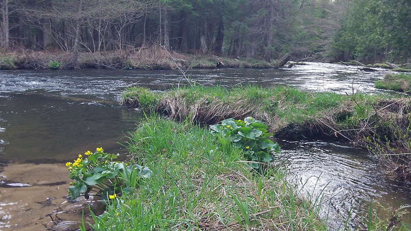
Looking downstream.

wrapped in a couple of tortillas. I think it was the best backpacker meal that I have had and eating it right out of the pouch makes for an easy clean up.
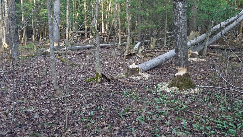
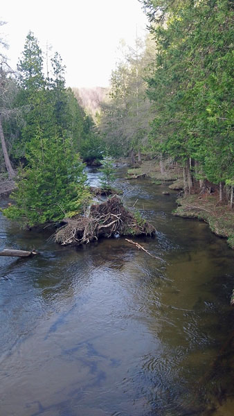
After dinner we walked back down to Pinney Bridge and stopped to check out some beaver activity that we noticed on the way in. The beaver’s strategy for falling trees didn’t seem to make much sense.
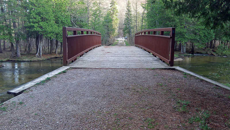
Pinney Bridge.
Looking up the Jordan River from the bridge.
After a clear and cool night with temperatures down into the 40s we were packed up and heading into the sun rising over the hills by about 7:45 am. It was a good night for sleeping other than a loud truck that must have been trying to climb hills on the other side valley for about an hour right in the middle of the night.
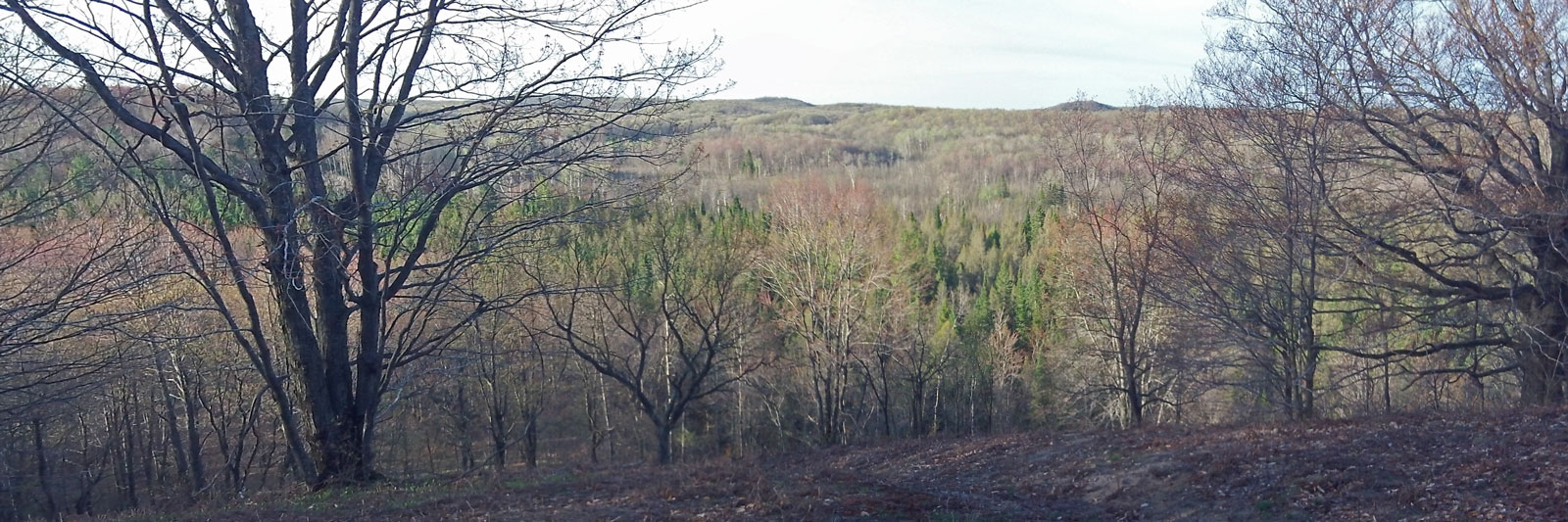
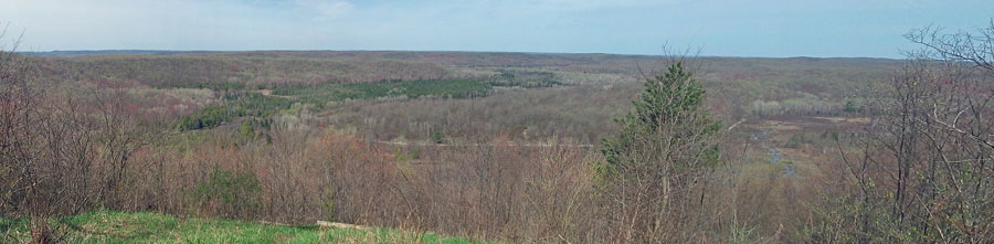
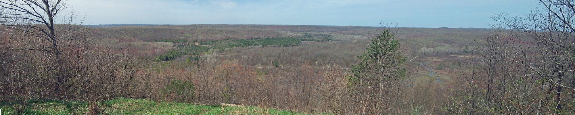
Right after leaving the campground, or just before it if hiking the normal direction, you climb up to another nice view of the valley.
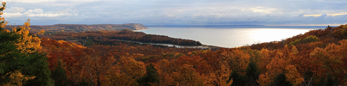
Click here to see the larger version >>
About 2 miles from the campground you come to a straight and mostly flat section of trail that runs on an old railroad grade that was built by the East Jordan Lumber Company in 1918 to ship logs to East Jordan for processing into lumber.
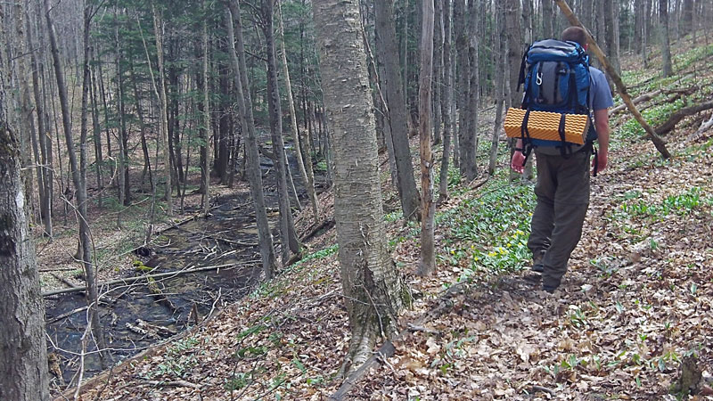
Hiking along the banks of the Jordan River.
The Jordan River Pathway crosses back to the other side of the river on the Jordan River Road bridge.
Beginning the climb back out of the valley after crossing the river.
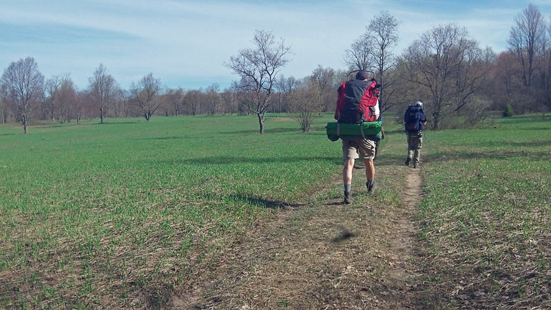
After a short climb the trail levels out and runs along the edge of an open field.
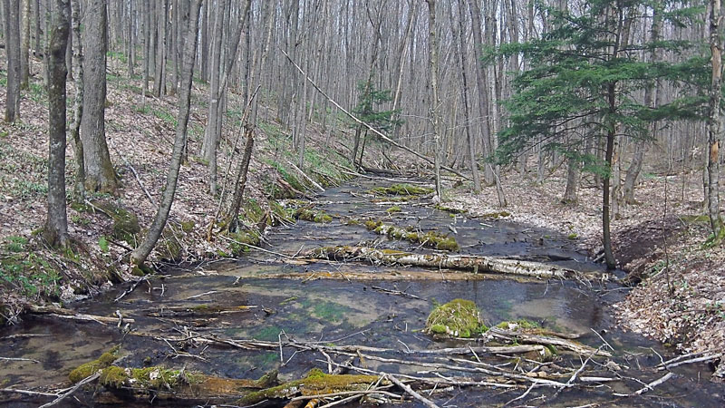
Checking out the beaver ponds.
Starting the long climb back up to the start at Deadman’s Hill. Even though we were hiking the trail in reverse we found that it was well marked. However, right at the end we made one wrong turn when we followed the signs pointing back to the Deadman’s Hill parking for the day hike loop. When got to the top of the long climb we realized that we were back to junction that we passed on the previous day. Rather than going back down we continued on this route back to the parking area.
Back at Deadman’s Hill and the end of the backpacking trip.
It took most of us about 3 hours to complete this part of the hike. Hiking the trail in reverse seemed like a good way to do it. The shorter second day was nice and with everyone else going to other way we had the trail mostly to ourselves.
Click here to see the larger version of this photo >>
Most of the links that I found to Jordan River Pathway Trail Maps were broken. So above is a scan of a laminated map that a friend gave me a several years ago. The second page has the interpretive trail guide. Most of the numbered posts can still be found along the trail, but many are starting to deteriorate.
If the Jordan River Pathway Map does not show above click here >>
Directions to the Jordan River Pathway trailhead at Deadman’s Hill >>
The End…
![]()
![]()
![]()
![]()
![]()
Our Favorites:
prAna Zion Stretch Shorts
The prAna Zion Stretch are without a doubt the best shorts I have ever owned. I already have 3 colors and now that they started making them in black, I will soon be up to 4. I originally bought them for hiking, but now I wear them for just about everything. Add a liner short and they become the perfect baggy mountain biking shorts. Need something to wear into town for dinner? No problem.

Find prAna Zion Stretch Shorts on Amazon >>
Advertising Disclosure: We may receive a commission if you click a link on our site and purchase one of the products or services that we recommend.
Mona Brossard
I also agree about trail runners, but make sure you don’t get trail runners that have many breathable holes on the top of the foot. I am disappointed in a new pair of Solamans because the fine sand entered through the top of the foot and into my socks!!!! That is not comfortable either. My previous Addidas were waterproof and I had no difficulties.
MyMichiganTrips
Good Advice. Thanks!
Daniel Romej
Its the Jordan “Valley” Pathway. Not “River”.
MyMichiganTrips
Hi Daniel, Thanks for the update on the name. In Backpacking in Michigan Jim DuFresne calls it Jordan River Pathway.

Bret
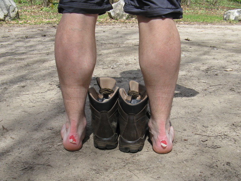
Nice writeup. Ditch those nasty boots for some trail runners! You’ll never look back.
MyMichiganTrips
I agree! I have been using low offset trail runners for several years and will not go back to boots. The Altra Superior Trail Runners are my current favorite. The zero drop and foot shape toe box are very comfortable.