Michigan Winter Camping on the Pine Valleys Pathway near Baldwin, Michigan – Jan 31 – Feb 1,2015
For our winter camping trip this year we went back to the Pine Valleys Pathway just north of Baldwin, Michigan. We were here in January of 2012 for my first winter camping trip. This really an ideal spot for an easy overnight trip. It is about a 1.5 mile hike in to a nice hike-in campsite on Lost Lake. Then after setting up camp there are an additional 6.7 miles of trails that can be explored. The trailhead is also a staging area for the snowmobile trails so you can always count on it being plowed in the winter.
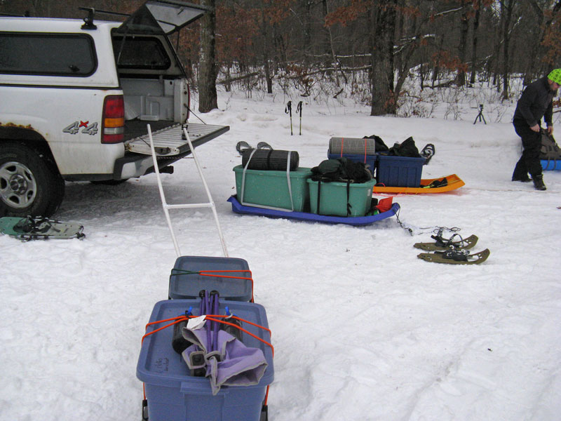
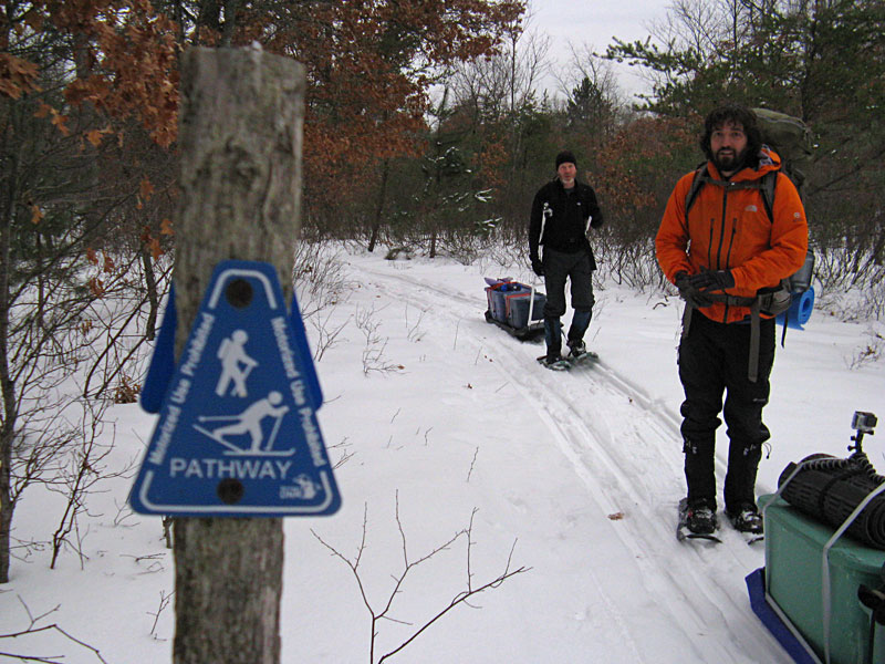
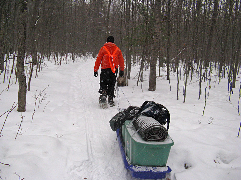
Loading up the sleds at the trailhead. Photo by J.D.V.
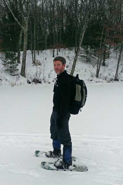
I made a new pulling system for the sled this year. I used the next size larger PVC pipe and also added 2 “ladder rungs” between the pipes to increase the stiffness. So far it has worked good, but I still have to test it on some more difficult terrain. I also decided to take my daughter’s small bag chair instead of the folding stadium chair I normally use. Even though it was purple, it was really nice to have by the fire at night and I didn’t even notice the extra weight. See my complete gear list on our winter camping page.
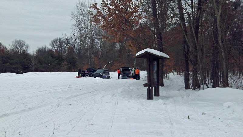
The start of the Pine Valleys Pathway is off from 7 mile road just east of M-37 about 14 miles north of Baldwin. The trailhead has a big parking area and the amenities include a picnic table, information board and pit toilet.
Directions to the Pine Valleys Pathway Trailhead >>
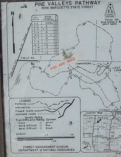
The Pine Valleys Pathway Trail Map. The route to the campground follows the posts in order #1, 2, 3 and then you will want to head down to Lost Lake just before marker #4.
To see a larger version of the map and print click here >>

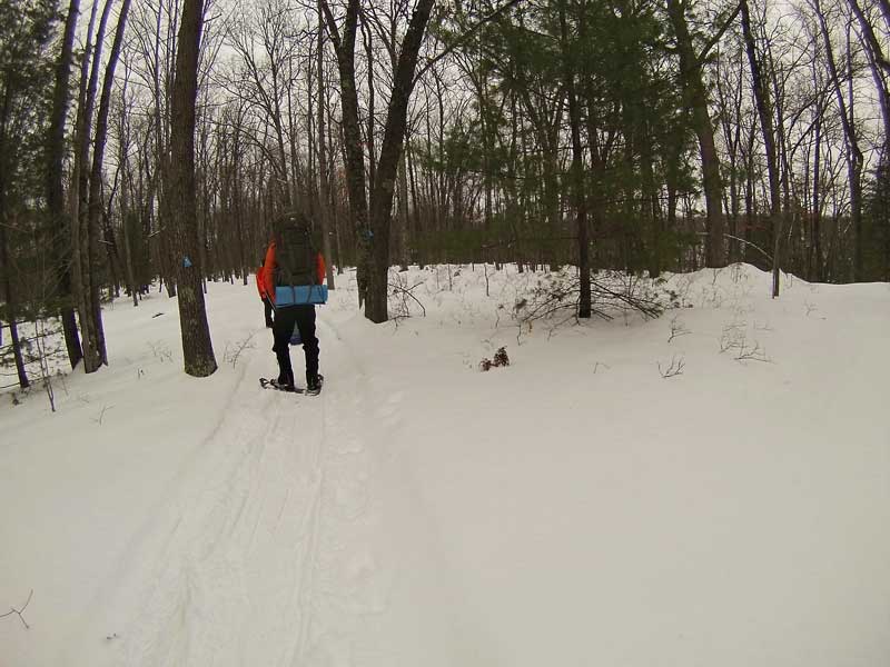
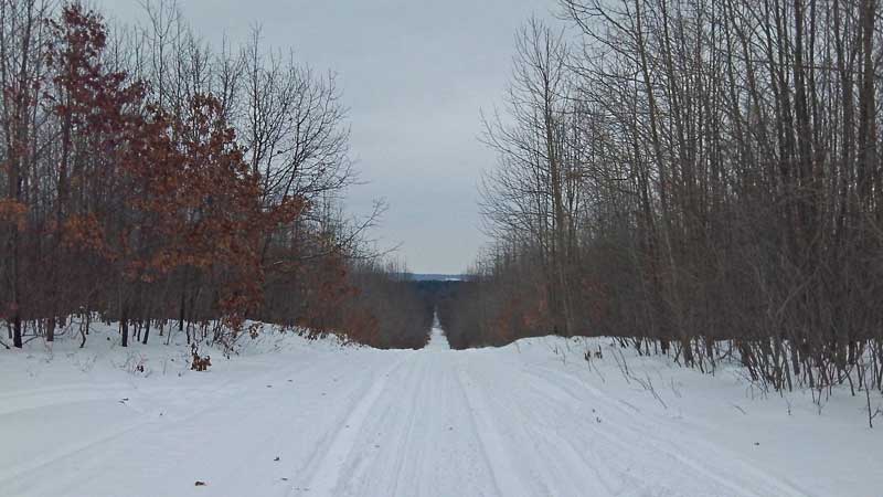
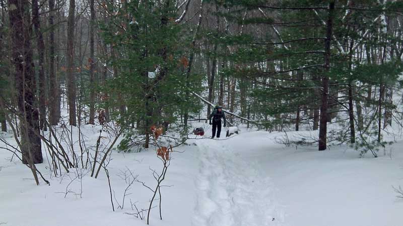
Heading down the trail. We did our best to stay on either side of the ski track, but it was hard at times to keep the sleds from running over it.
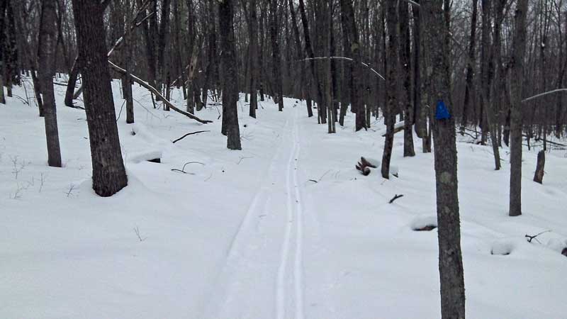
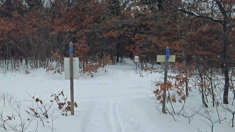
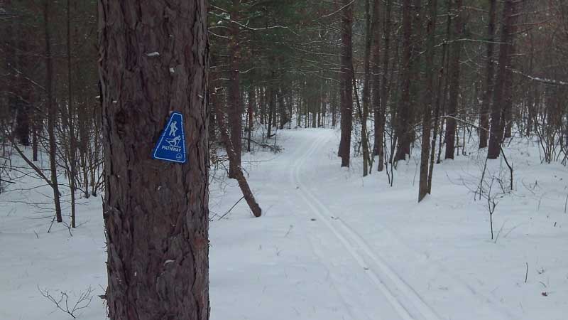
The DNR has the path marked really well with the blue triangles shown above. Photo by J.D.V.
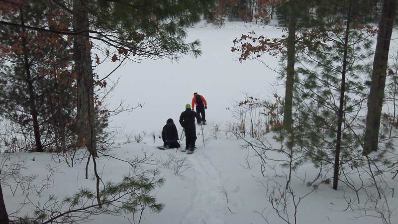
Approaching Lost Lake.
You will first see the south end of the lake from trail up on the ridge. To get to the campsite you will want to walk past about the first half of the lake and then watch for an easier slope that cuts back down to the southwest. It is probably easier to spot this trail to the lake in the summer when everything is not covered with snow.
This is a 60 second GoPro timelapse of the hike to Lost Lake.
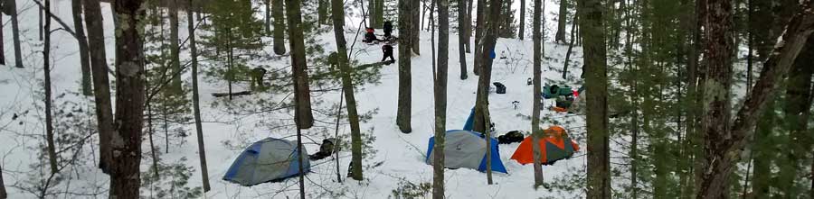
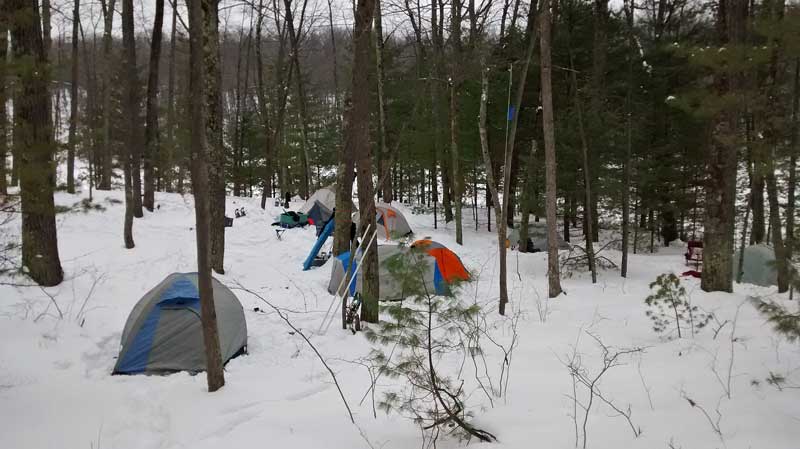
Setting up camp.
The campground on the northwest side of Lost Lake is a really nice spot just above the lake with plenty of flat space for a big group of tents. Since we were here last someone improved the log benches around the fire pit into a nice big rectangular seating area.
After setting up camp and eating lunch we went down to check out the lake and got ready for an afternoon hike.
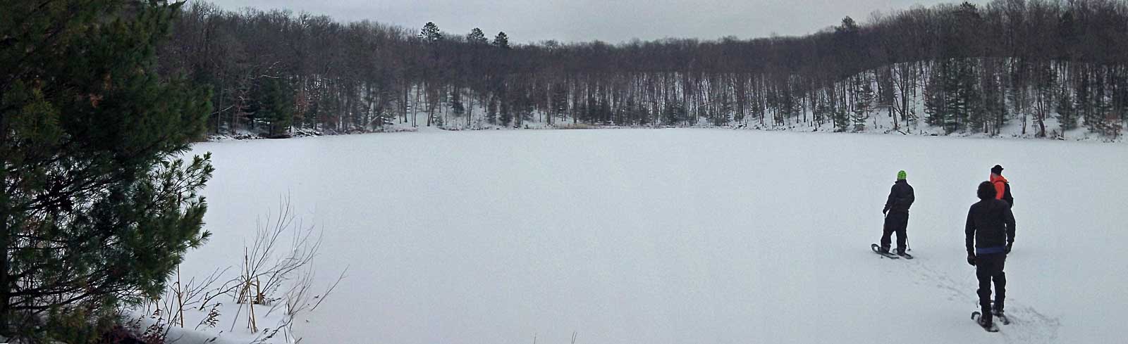
Lost Lake is entirely surrounded by bluffs that look to be about 50 to 70 feet above the water level. It is fairly small at about 900 ft long by about 450 feet wide at the largest points. The DNR survey map shows that it is 16 feet deep right in the middle.
After everyone made their way down to the lake we headed across the ice to the northeast corner so we could climb up the ridge and pick up the trail at post #4. From here we continued our afternoon hike counterclockwise on the north loop.
After about a 0.1 of a mile the trail crosses 7 mile road. The seasonal roads have mainly snowmobile traffic this time of the year, but it also looked like someone made it through with a 4 wheel drive.
The north loop was a nice hike through mostly hardwood forest of varying ages. They must have cut different sections at different times over the years. I think that the different sections of trees helped keep this loop a little more interesting.
Crossing the snowmobile trail on Forman Road at about the northern most point on the loop.
Arriving back at camp after our 4.7 mile hike. On the way back we decided to cut over to the trail circles around the south side of Lost Lake at post #8. It took us about 2 hours and 15 minutes to complete this route in the snow. Photo by Dally.
The GoPro photos from the hike. The camera battery ran out about 1.5 miles from the end of the loop.
By the time we got back to camp the rest of our group had arrived and they were finishing setting up.
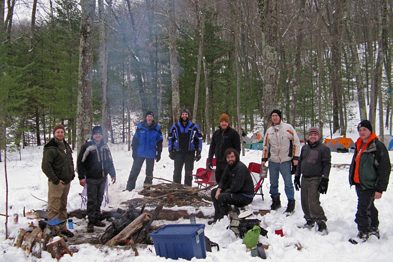
The group shot by the fire. Photo by J.D.V.
We set another attendance record this year with 9 of us. The word must be getting out that Michigan winter camping is awesome!
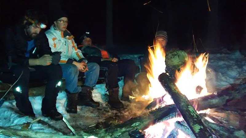
After making dinner it didn’t take long to get dark. We had a nice big fire and with temps in the upper 20s, some perfectly chilled beverages. After spending the whole day out in the cold air everyone was ready to find their sleeping bags fairly early.
The temperature during the night only got down to about 15 degrees which was pretty good for sleeping. There were a few times that I woke up to wind gusts which were a sign of the cold front that was going to be coming through on Sunday. In the morning we woke up to light snow falling. We warmed up with breakfast by and fire and then started packing up. It was Super Bowl Sunday and everyone wanted to keeping moving so we could get back home on time.
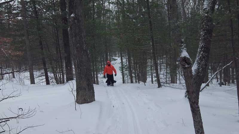
Climbing back up to the trail from the campsite.
On the way back to the trailhead a few of us decided to take the south trail. This route is about 0.75 longer than the way we took in, but we thought a change in scenery would be good.
This route went through a mixture of hardwoods and pine and was also well marked. We were glad we took this route. It was a nice hike along the top of a ridge for the first part and then we got a view of the wetlands at the end of Syers Lake.
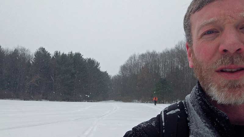
As we hiked back to the truck the snow continued to pick up. Photo by J.D.V.
By the time we got back to the trailhead the wind was also starting pick up. It was a long drive home as a winter storm was moving in from the south. We saw one car on it’s side in the ditch and another accident on one of the big M-37 curves. We went slow and were thankfully able to keep it shiny side up all the way back.
The GPS tracks of our activities. The red track is the 1.5 mile hike into the campsite. The blue track is from our 4.7 mile afternoon hike on the north loop. Finally, the green track is the 2.3 mile hike back to the trailhead in the morning.
Our timing for the trip ended up being almost perfect with nice weather for everything, but the hike out. The temperatures stayed just below freezing, which is ideal, and there was little wind. The only thing that could have made it better would have been some sunshine like the last time we were here.
When I got back home there were already 2 foot drifts in our driveway and by the end of the Super Bowl there was about 12 inches of new snow. If our trip had been a day later it would have been an entirely different experience.
![]()
![]()
![]()
![]()
![]()
Make sure to see my favorites below. Also, visit our winter camping page to learn more about what I take and a few tips I have learned on our last few trips >>

Our Favorites:
For Winter Camping I Would Recommend My: Outdoor Research Gators, SmartWool Base Layer
and you can’t forget the Heavyweight SmartWool Socks.
While all of this gear is nice to have, if you would ask me: What is the one thing that will help you stay comfortable when winter camping? My answer would have to be: Hand and Foot Warmer Packs.
Put a couple of these in your sleeping bag and you will stay nice and toasty all night. In the morning put a pair of foot warmers in your frozen boots and your toes will be happy. Wet gloves, no problem they will keep your hands warm and help dry them faster. I am personally partial to the Grabber Brand because they are based right in West Michigan.
Search for hand warmers on Amazon>>
Advertising Disclosure: We may receive a commission if you click a link on our site and purchase one of the products or services that we recommend.
Mike Z.
I hiked this trail today and was looking for the “campground”. The only thing I noticed on the trail which resembled a camping area was a fire ring which was in a clearing. Is there more “camping area” which is not on the trail itself?
MyMichiganTrips
I have only been there in the winter. I do not believe that there are designated campsites anymore. I think it is just dispersed camping.
Dakota
Can you verify if there is a segment of pathway that run between intersections 3 and 7? Or is it just 8 and 7? Was the map displayed at the pathway correct? Could you send a copy of your .gpx if you have it?
Thanks,
MyMichiganTrips
The map that was posted at Pine Valleys Pathway seemed to be right on. There is a short cross over trail between #3 and #8. Here is a link to a .pdf of the photo that I took of the map: http://www.mymichigantrips.com/images/Pine-Valleys-Pathway-Winter-2015/PineValleysPathwayMap.pdf