Camping over Memorial Day Weekend in the Channel Campground at Muskgon State Park – May 23 – 26, 2014
For our first family camping trip of the 2014 season we decided to stay fairly close to home and visit Muskegon State Park over Memorial Day weekend. The weather was really nice with temperatures in the low to mid 70s. It got a little cool at night especially on the first night when the wind was blowing straight from the west. It had been a cool spring and the Lake Michigan water temperatures were still in the low 40s. Whenever the wind turned and came out of the west you could feel the temperatures drop about 10 degrees almost instantly. Memorial Day started out sunny, but by lunch time storms were starting to move in from the north. Since we only had a short drive home we planned to spend the afternoon on the beach, but with the weather not cooperating we were home and all unpacked by the middle of the afternoon. We really liked Muskegon State Park and we will back again
The Channel Campground at Muskegon State Park:
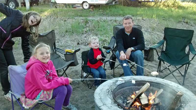
Roasting marshmallows on our first night. We also tried roasting Rice Crispy treats which were good, but hard to keep from falling off the stick.
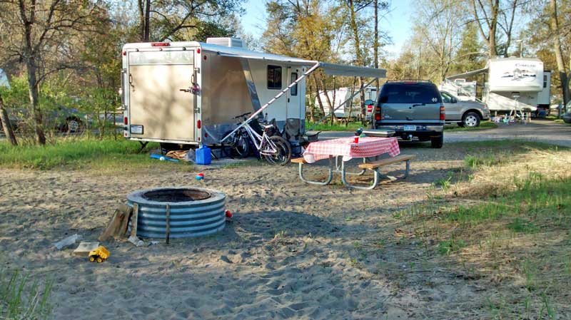
We stayed in campsite 69 which is on the outside of the south loop in the Channel Campground. I didn’t realize that Memorial Day was early this year so I missed the 6 month booking window by a week. By this time all the sites that backup to the Muskegon channel were already booked.
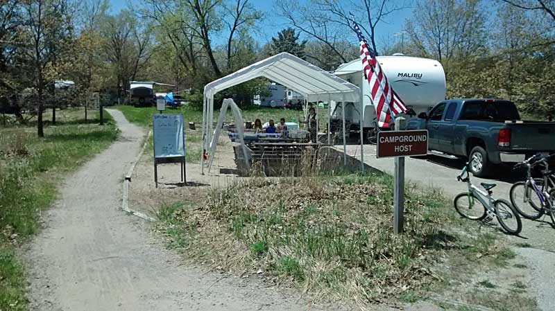
There was a path that ran right along the edge of our campsite that connected to the north loop of the Channel Campground. The sites in the north loop are bigger and more spread out than the loop that is closer to the channel. The camp host was at the other end of the path. They had free “rolls” and coffee every morning. The kids were excited when the found out that “rolls” were actually doughnuts and could not wait to walk over in the morning.
With the path next to us there was a steady stream of traffic going past our site all weekend. We also used it to get over to the bathhouse in the other loop which was a shorter walk than the one in our loop.
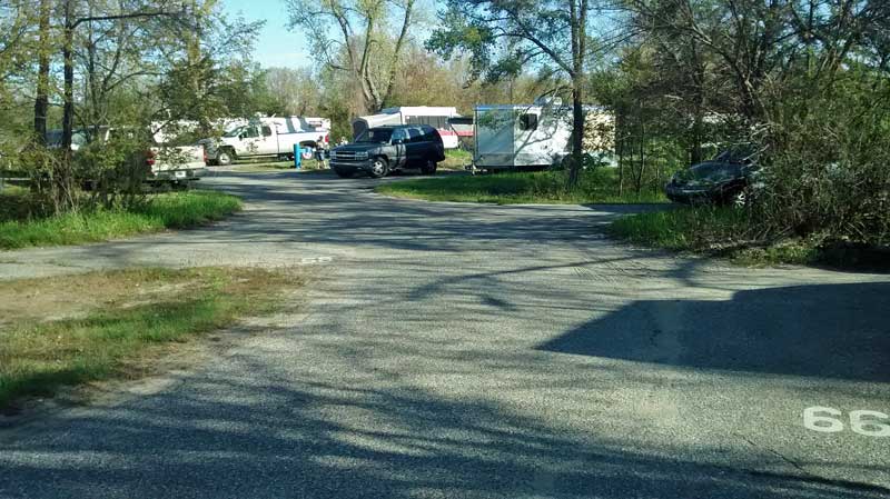
Looking at our campsite from the road.
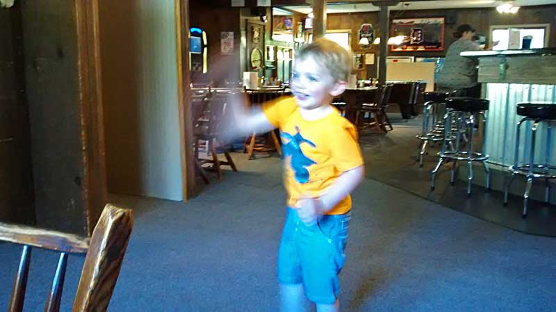
Reid started riding his two wheel bike a little last fall, but it was still too big for him back then. We tried it again on our first night and he got it right away. We spent the rest of the weekend doing laps around the campground.
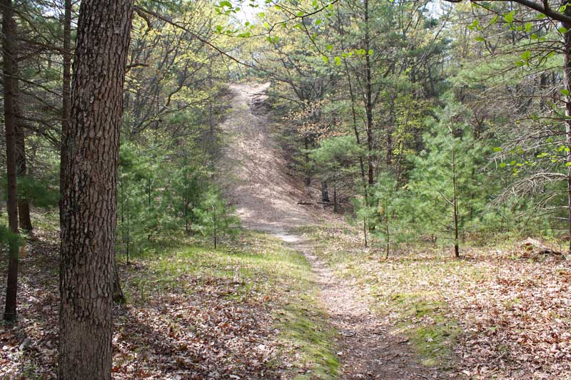
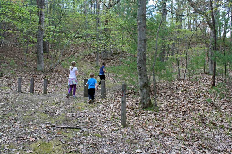
Dune Ridge and Devil’s Kitchen Trails:
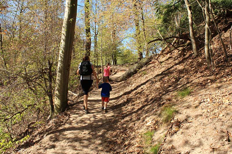
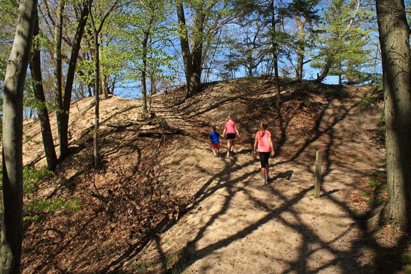
The next morning was nice and sunny. After breakfast we drove over to the Snug Harbor parking area to hike the Dune Ridge Trail.
The trailhead is at the west end of the Snug Harbor parking area. The trail starts low along the lake and then you will want to take a right at the 3rd intersection and start climbing up the ridge and the fairly steep trail shown above.
Climbing up to the first overlook on the Dune Ridge Trail.
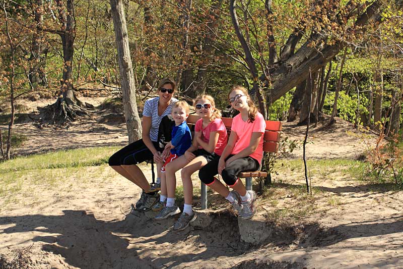
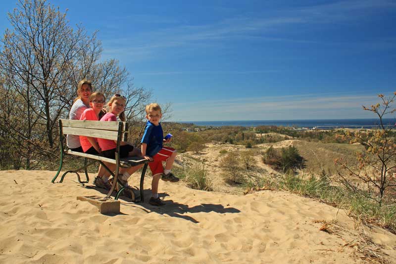
Resting on the bench at the first overlook.
The view of Lake Michigan from the first overlook.
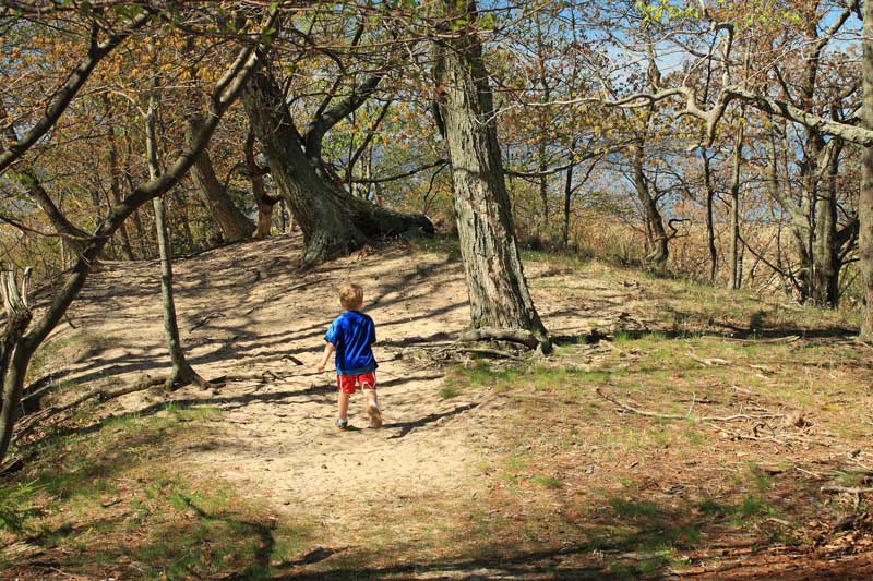
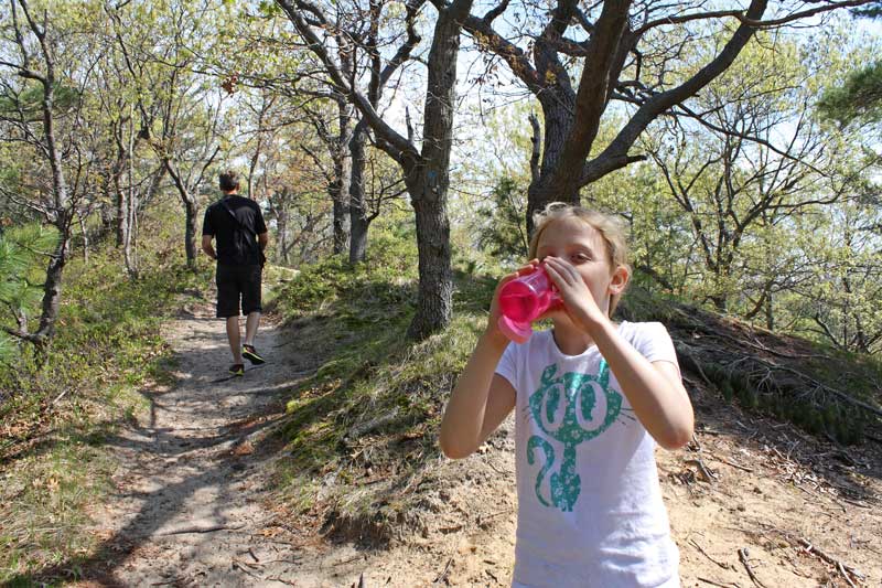
Continuing on along the top of the dune.
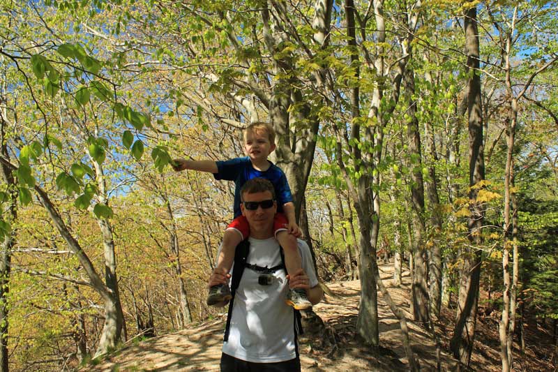
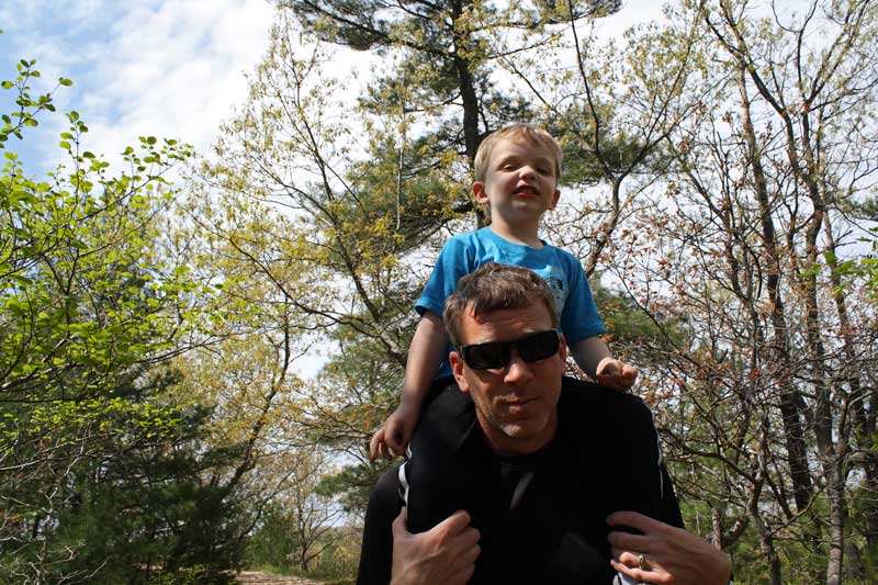
Reid getting a ride to rest the little legs.
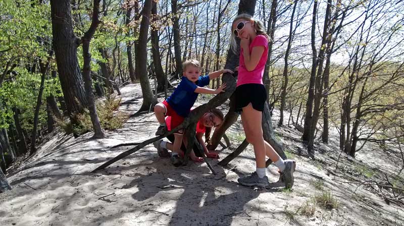
Checking out the tree roots sticking out of the sand.
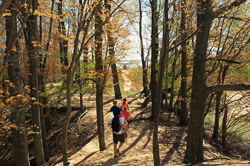
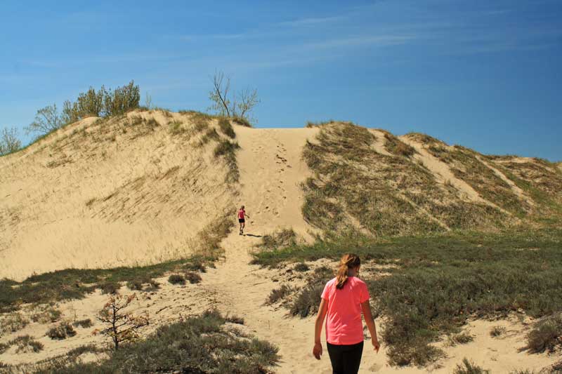
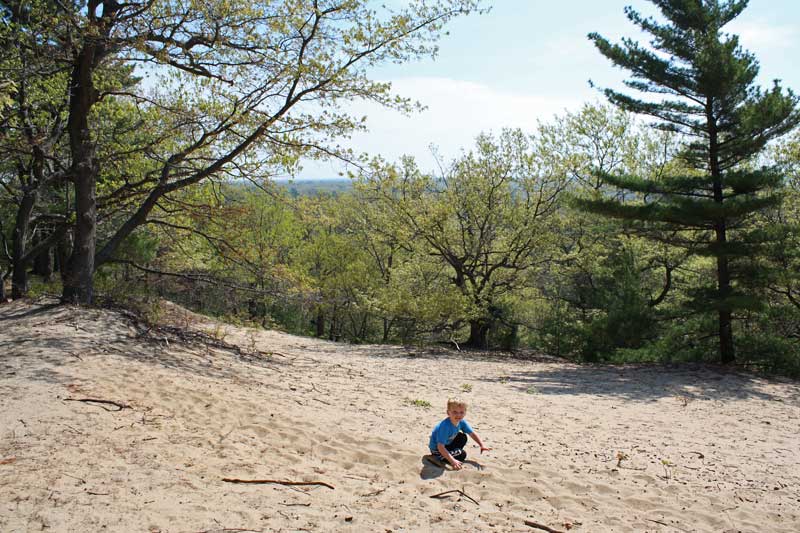
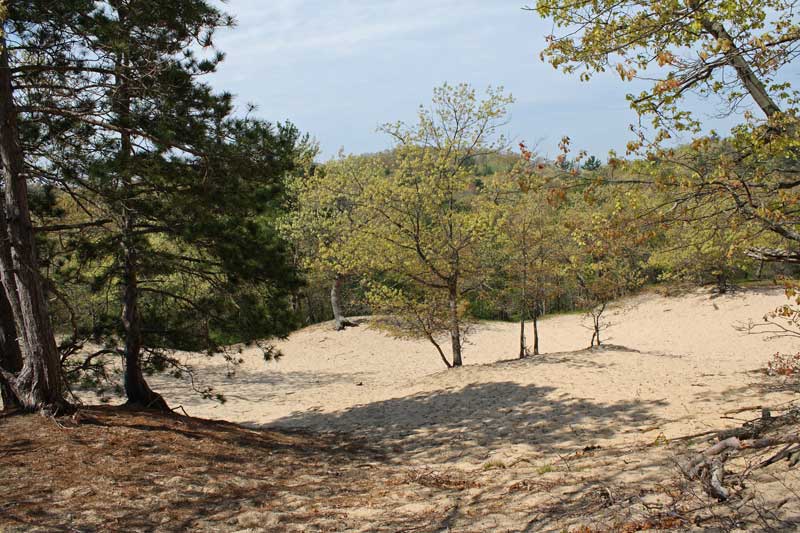
Heading out into an open dune area.
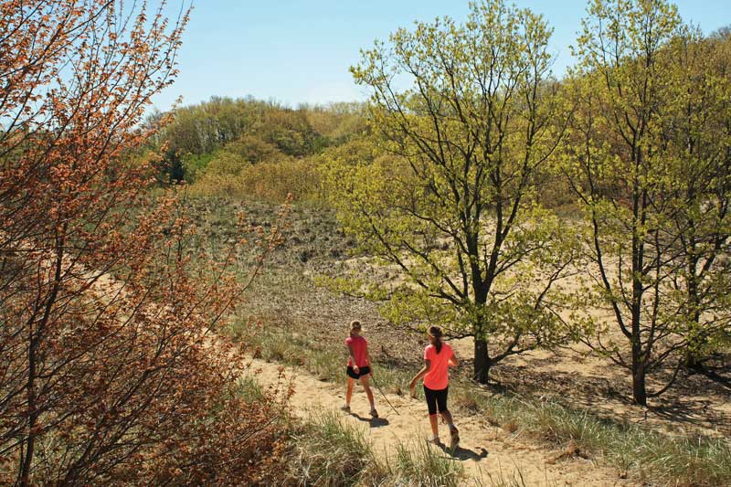
Heading up to the second overlook.
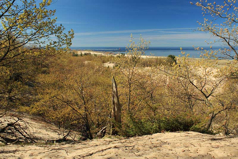
Taking in the view at the second overlook.
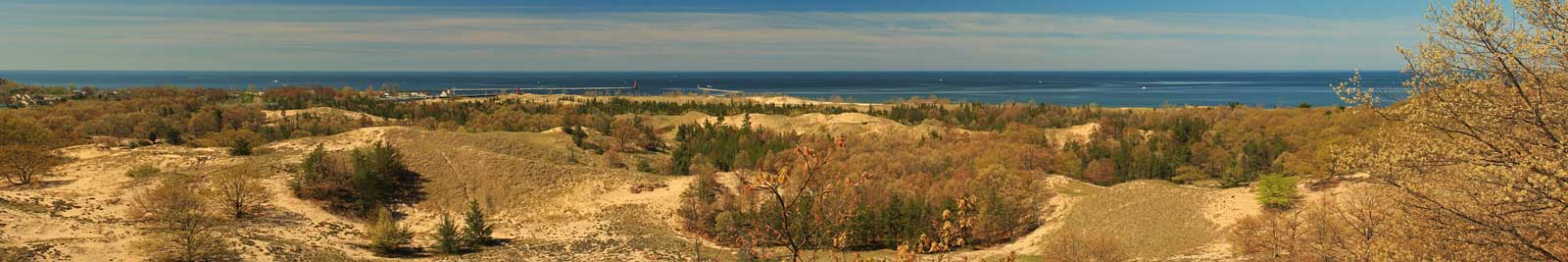
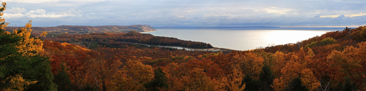
The panoramic view of the Muskegon Harbor and Lake Michigan.
To see a larger version of this photo click here >>
After the overlook we followed another group of hikers on an unmarked trail that went though and dunes back to the Channel Campground for about a 2 mile hike.
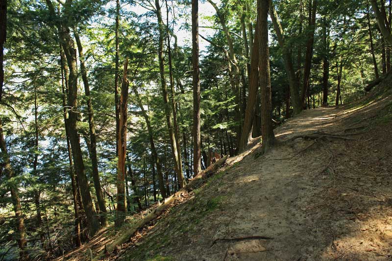
After dropping everyone off at the campground I walked the Devil’s Kitchen Trail back to get the car at Sung Harbor. It was a nice 1.5 mile hike along Muskegon Lake and then up on the ridge that protects Snug Harbor.
A 60 second GoPro time lapse of our entire hike.

For more on this hike see: Explorer’s Guide 50 Hikes in Michigan: Sixty Walks, Day Trips, and Backpacks in the Lower Peninsula
Lipka’s Soda Fountain:
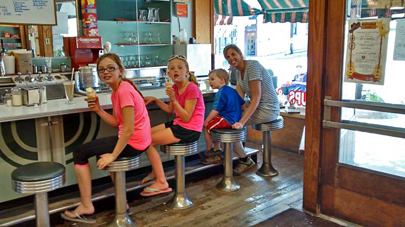
Later in the afternoon we drove into North Muskegon to get gas and pickup a few things that we forgot. From there we continued on to Mountague to visit Lipka’s Soda Fountain.
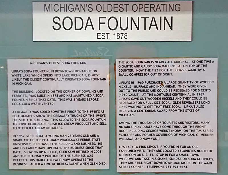
Lipka’s is likely the oldest operated soda fountain in Michigan. When step inside it feels like you are stepping back in time. It looks like this place has remained relatively unchanged over the years.
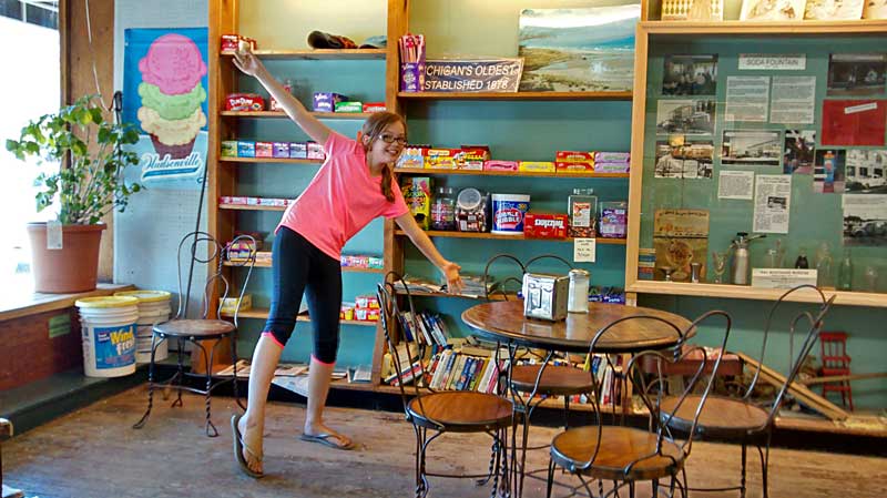
Regan checking out the candy shelves.
Lipka’s is not only a cool old place it also may be the best deal that you will find on ice cream anywhere. For 3 kids cones and a huge chocolate malt that we split it totaled about $7.
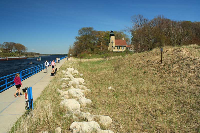
On the way back to our campsite we stopped to see the White River Lighthouse. There is a museum inside the lighthouse, but the admission was $5 per person. It seems ounce you have seen the inside of a few lighthouses the rest are all pretty much the same. So we just decided to admire it from the outside and then walk out along the channel.
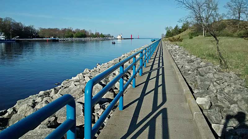
The next morning was sunny again and a little warmer. While waiting for everyone else to wake up I took the sidewalk out along the Muskegon Channel. It is nice 0.5 mile walk from the campground to the end of the walkway.
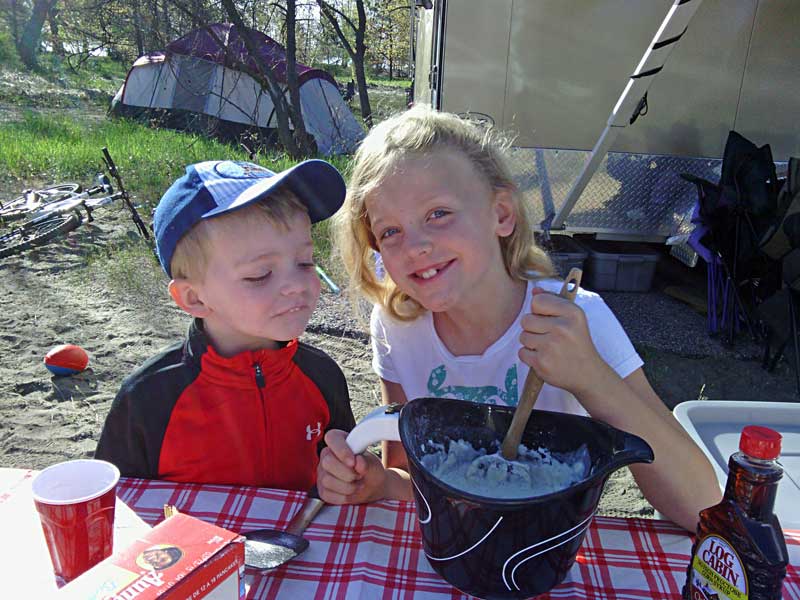
By the time I got back to the campsite Reesey was getting the pancakes going.
Fat Bike Beach Ride Muskegon State Park:
After breakfast everyone went to the beach and I took off down the shore on the fat bike.
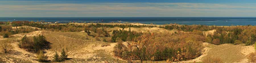
Above is a GoPro time lapse of my fat bike ride starting from the Channel Campground in Muskegon State Park and heading north along the beach. I planned to ride up to Duck Lake State Park, but at about 7 miles out I was stopped by maze of breakwalls out in the water.
In the afternoon it was Mom’s turn to go for a ride on her road bike. The girls walked over to the camp host for craft time. They came back with some cool little campfires that had battery powered candles in the middle.
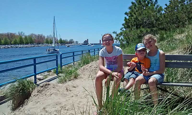
After craft time we walked out along the channel to watch the boats.
In the late afternoon we headed up Scenic Drive to the Red Rooster for an early dinner. There are not many dinner options in this area and this was one of the closest so we thought we would give it a try. It is your typical pub with okay pub food that really isn’t anything too special. Reid was excited when someone fired up the jukebox.
After dinner we made it back to the campsite just in time to meet my brother and his fiance. They stopped by to visit as they were passing through on the way back home.
The Scenic Ridge Trail:
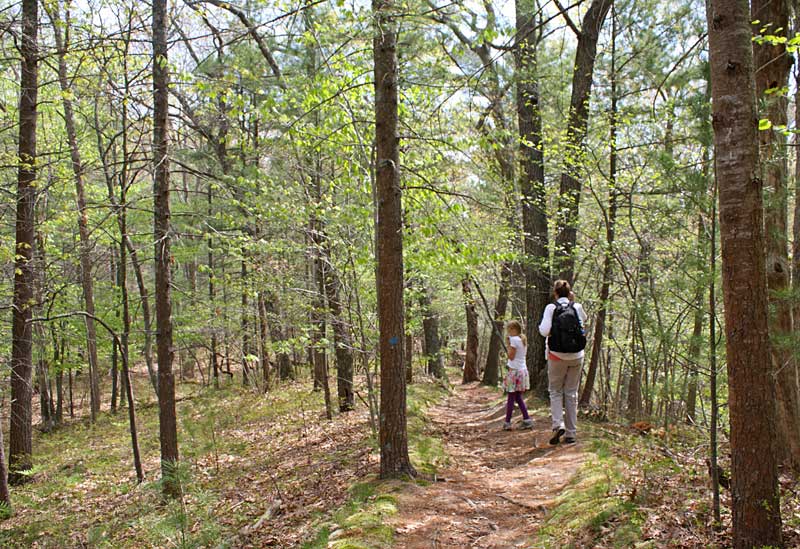
After breakfast Memorial Day morning we went for another hike on the Scenic Ridge Trail.
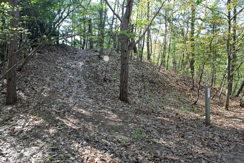
The Scenic Ridge Trail starts at the Block House on Scenic Drive. To start on the trail you can either cross the steep valley off from the lower parking area by the block house or head down hill along the road to the unmarked trailhead. Watch for the white “State Park Closed to Hunting” sign on the post shown above at the start of the trail.
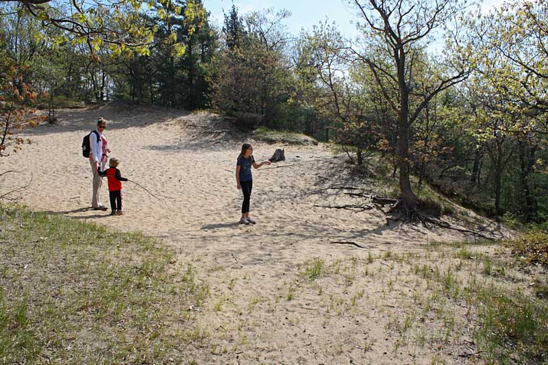
After following the trail up the ridge you come to the open sandy area with trails heading off in several different directions shown above. Most of this loop is fairly well marked, but we could not find anything here. We took our best guess and headed down the hill to the right.
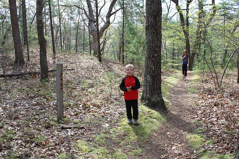
A little further down the trail we found a post that told us we were headed in the right direction.
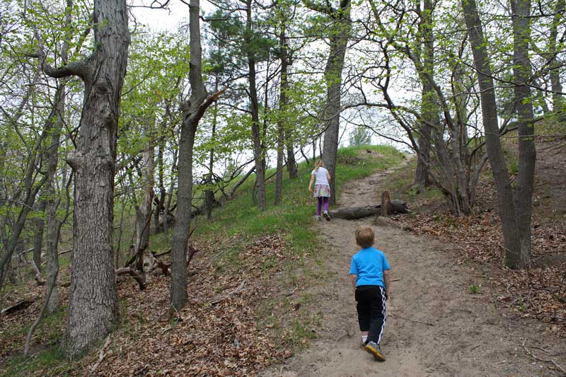
The kids were more excited about climbing this sandy hill than we were. Lucky for us the trail turned off to the right at the base.
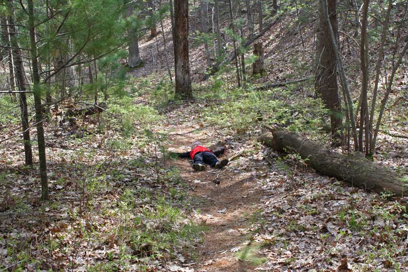
Reid decided that he didn’t want to walk anymore, so he did a lay down protest in the middle of the trail. We kept walking and when he realized that it wasn’t working he was up and running after us. Where do they learn this?
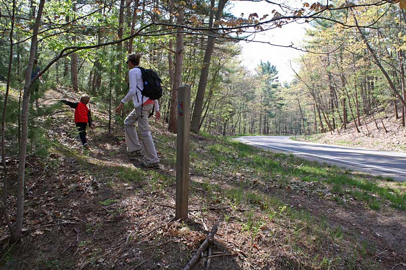
At about 0.5 miles the trail comes out by Scenic Drive before heading back into the woods.
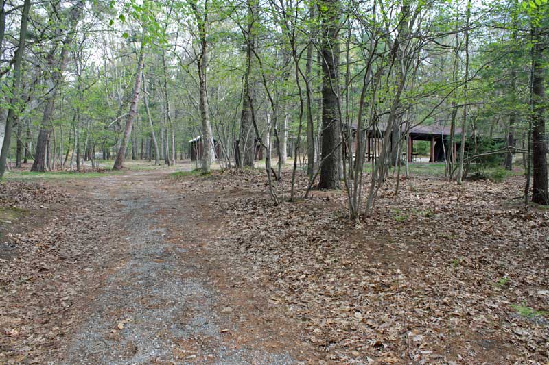
After this the trail runs through the “Youth Camping Area.” There are a couple pit toilets here if anyone needs to make a pit stop.
We followed the gravel road through the empty camping area until we saw the post above pointing us up the hill to the right.
After the camp the trail climbs up to an area that is a little more open up on another dune ridge.
Near the top of the ridge it opens up to the right and you can see a view of Muskegon Lake to the east.
Time again to give the little legs a rest.
Later the trail opens up to the west and you can a view of Lake Michigan between the dunes.
Starting to descend back down off the ridge. Just past here you get back to the open sandy area at the start of the hike and then backtrack to the trailhead.
We took the short cut across the steep valley back to the car.
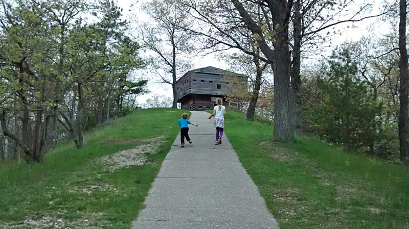
After the hike we walked up the hill to check out the Blockhouse.
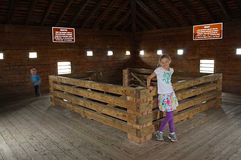
Inside the top of the Blockhouse. There really is not much of view from up here anymore.
The GPS track from our hike. The loop was just under 2 miles and it took our crew about 1 hour and 15 minutes to complete it.
The Muskegon State Park hiking trail guide and map. Scroll down for the map on page 2.
To download or print this trail map and guide click here >>
At the end of our hike the clouds were starting to move in from north. By the time we finished eating lunch back at the campsite we could see that rain was on the way so we finished packing up and headed home.
![]()
![]()
![]()
![]()
![]()
Our Favorites:
prAna Zion Stretch Shorts
The prAna Zion Stretch are without a doubt the best shorts I have ever owned. I already have 3 colors and now that they started making them in black, I will soon be up to 4. I originally bought them for hiking, but now I wear them for just about everything. Add a liner short and they become the perfect baggy mountain biking shorts. Need something to wear into town for dinner? No problem.
Find prAna Zion Stretch Shorts on Amazon >>

Advertising Disclosure: We may receive a commission if you click a link on our site and purchase one of the products or services that we recommend.
Leave a Reply