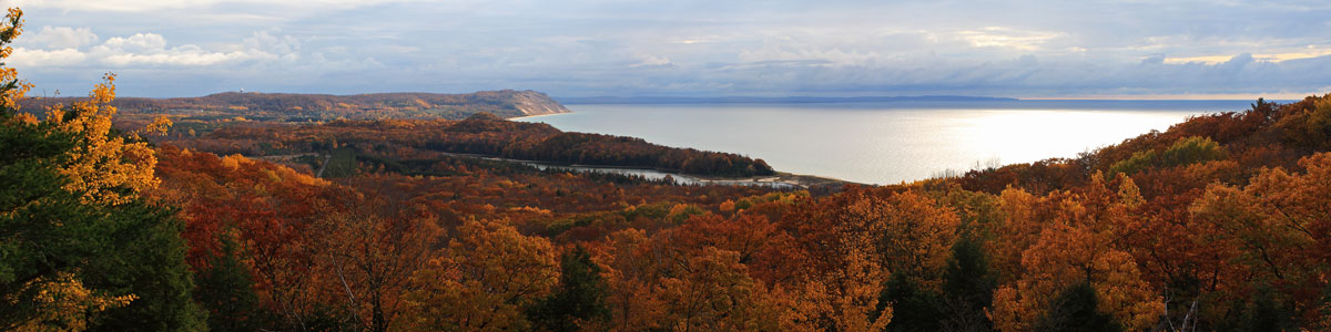
White River Trail Backpacking – May 10 & 11, 2014
The White River Trail is a lightly used pathway near Hesperia. The trail starts at Pines Point Recreation Area which is part of the Manistee National Forest. At the trailhead there is a rustic campground with about 30 sites on the banks of the White River. There is a day use picnic area with pit toilets and a canoe launch. This is also the location of the locally famous White River tuber loop. Starting at the canoe launch you can drop in your tube and float for about 30 minutes around a big horseshoe bend in the river and end up back only about 30 feet from where you began.
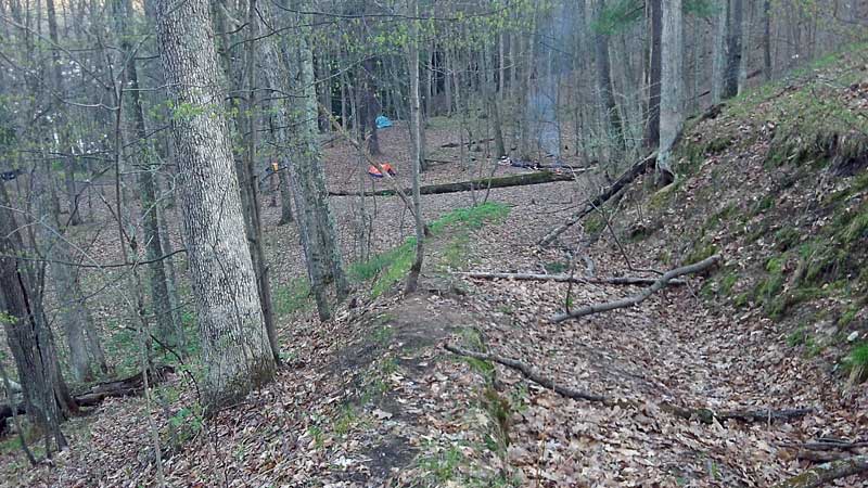
We could not find much information or maps about the White River Trail. I first saw it briefly mentioned in the Michigan’s Best Campgrounds Book. There is hiker sign near the pit toilet in the day-use area, but no other information. We took a day hike and did a winter camping trip out here a couple years ago so we are starting to learn our way around the area. The trail has some ocasional markings and usually easy to follow, but not really maintained. There are a lot of downed trees across trail that you have to either step over or walk around. Near the beginning there is a really big blow down in a grove of red pines that is a little difficult to get through. It looks like there are a few sections where someone is working on rerouting the trail, but the old trail seems to still be more heavily tread. At a few diffrerent places the trail gets close to an old sandy road that was closed a few years ago when this area was made foot travel only. Even if you loose the trail it would be hard to get lost out here because you would either find the river in one direction or the old road in the other..

It had been a cool and rainy spring and we got really lucky with almost perfect hiking weather on this weekend. Overall it was a short and easy overnight trip and it is nice that it is not too far of a drive north. I really like this area and I am surprised that it does not get more traffic.
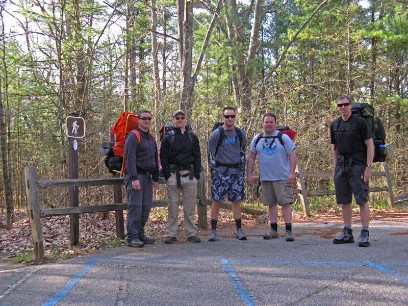
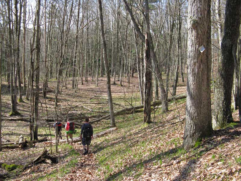
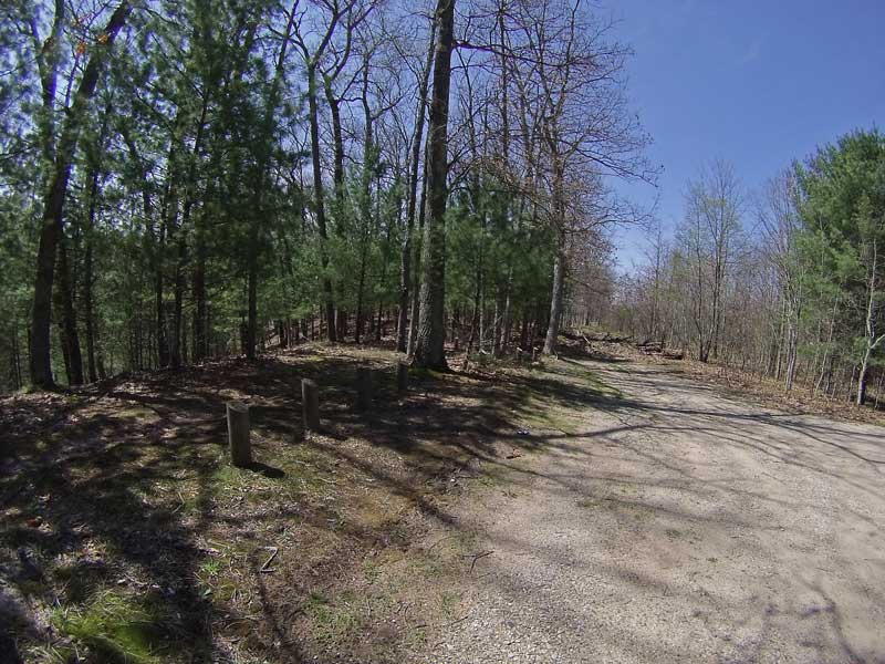
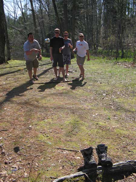
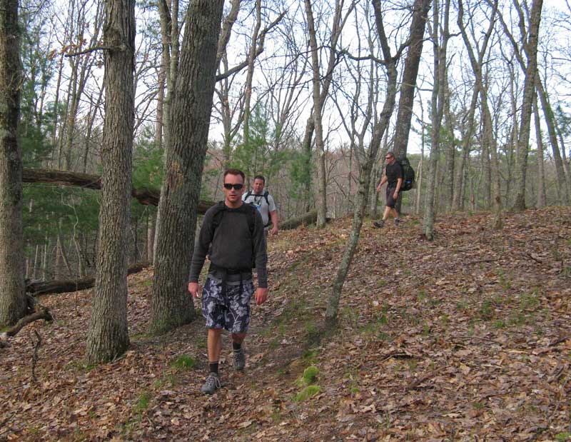
Our group at the trailhead. Photo by: J.D.V.
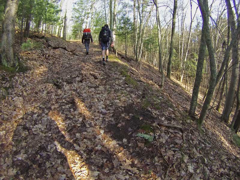
To pickup the White River Trail park in the day use lot above the canoe launch. Then head right just past the pit toilet and follow the trail south along the banks of a small bayou off the river.
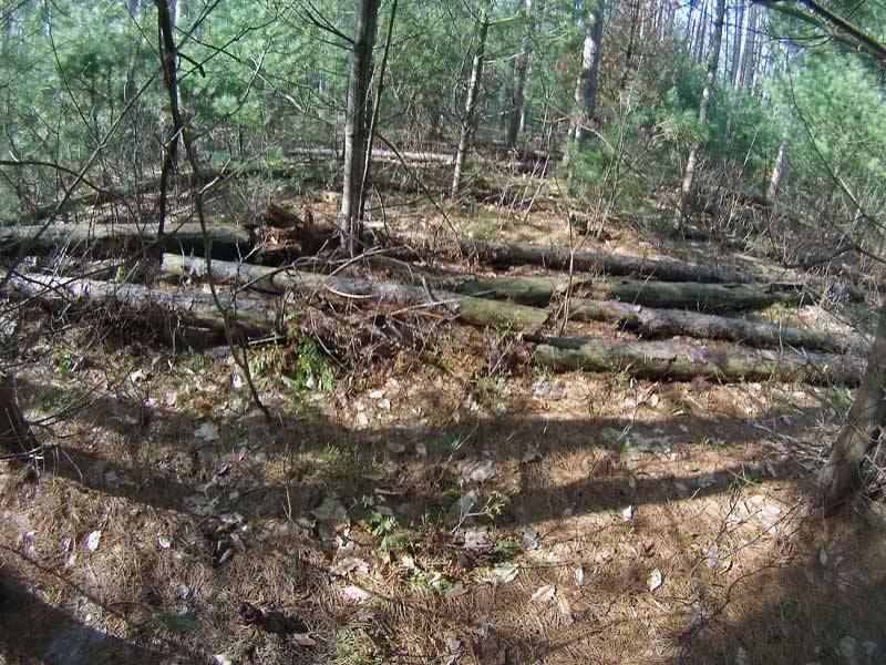
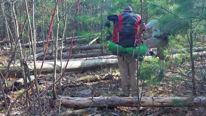
In a short distance you will come to a tee in the trail and you will want to turn right away from the river and head into the red pines. There are faint blue dots on the trees that can still be seen. This is also where you find the maze of blown down trees that you will have to navigate.
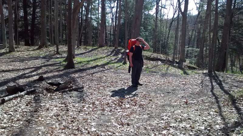
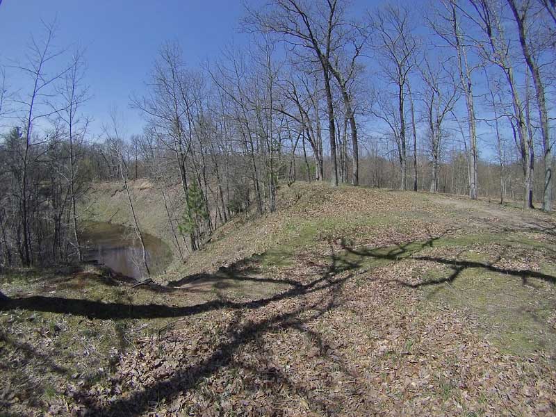
Right after the blow down area the trail makes a sharp right and you start ascending to the top of the banks high above the White River. The trail is a little hard to find here and I made a mistake by going straight instead of turning. If you have a GPS or smart phone the trail to the top of the ridge is at: (43.52431, -86.12261)
Update: We heard from someone who tried this trip later in the summer. They ended up having to give up and turn around here and head back to the campground for the night. If you get turned around just try to make your way to the top of the ridge that runs along the river and you should be able to either find the trail or the old road. Using the GPS coordinates above is still probably the best option.
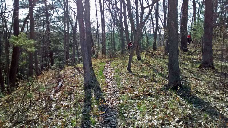
At the top you will see the old sandy 2-track road and just before that the trail heads off to the left along the top of the river valley.
A little further down the trail.
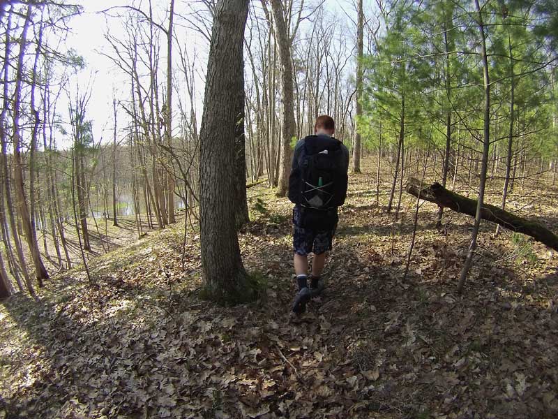
Starting to drop back down into the White River valley. Photo by: J.D.V.
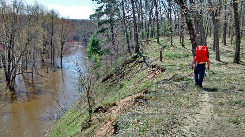
At just over 2 miles the trail drops down to a lower area right along the river. Photo by: J.D.V.
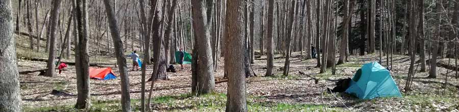
We decided that after about an hour of walking and 2.3 miles that we would setup camp here. This big flat area right on the river was hard to pass up because we didn’t know how far it would be to the next good campsite.
The view of the river from the campsite. It was still running high and brown from all the recent rain and late spring melt.

Our camp set up.
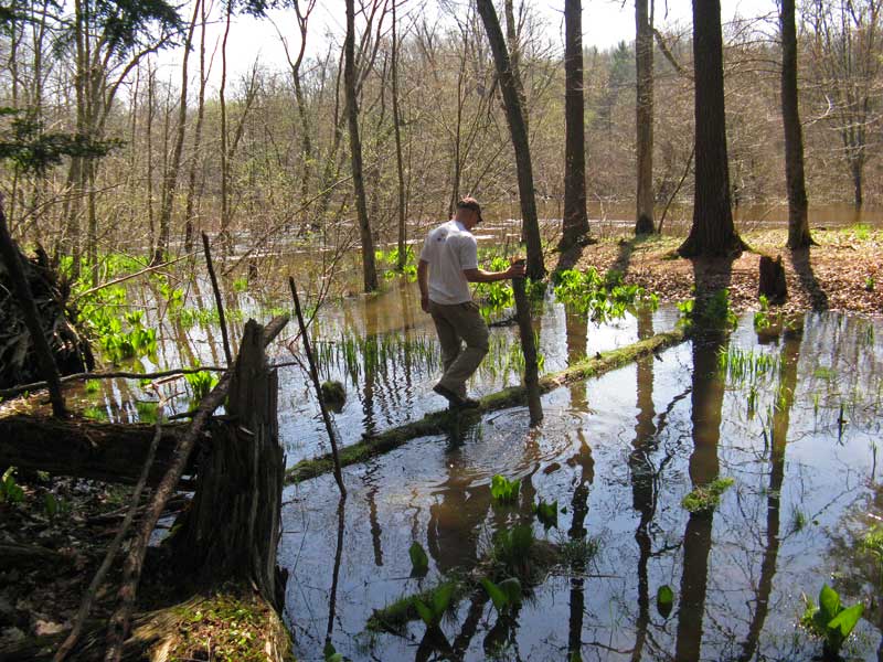
After setting up camp the next order of business was a bridge over to the island and the main stream of the river. There was already a down tree covering most of the way, we just had to fill in the ends with logs. It all went as planned until my walking stick broke while dragging a log to the other end. I ended up with one wet boot for the rest of the afternoon. Good thing it was warm. Photo by: J.D.V.
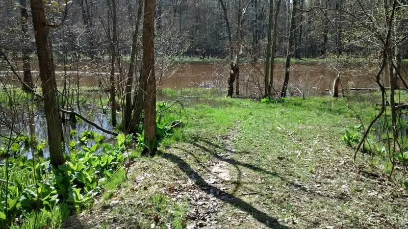
After everything was set at the campsite we walked about another 0.5 miles to a horseshoe bend overlook in the river for lunch. Just before the overlook the trail crosses the end of Winston Road. The turn around here could make another good place to park and access the trail.
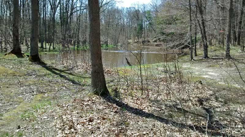
Our lunch spot on the bend in the White River. The river was so high that inside of the corner was flooded. This would make another good camping spot, but there are no camping signs posted all along the old road here.
After lunch 2 of us hiked further down the trail while the rest went back to camp to try fishing.
My battery on my phone was getting low so I didn’t track this part of the hike, but I think we walked for about another 1.5 to 2 miles. The spot where we turned around would be another good place for a hike-in camp at about 4.5 to 5 miles from Pines Point Recreation Area.

Heading back to our camp along the edge of the river. Photo by: J.D.V.
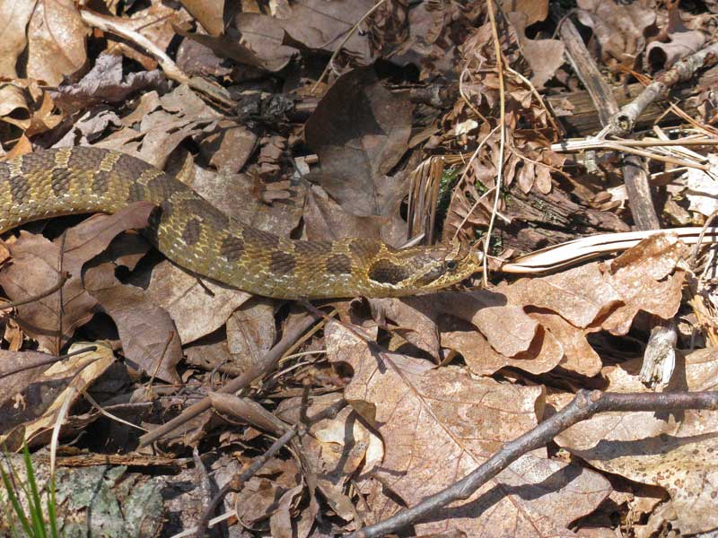
On the way back I almost stepped on this snake sunning in the middle of the trail. We thought that it was a Hog-nosed snake, but it didn’t flatten it’s head or puff up when we got close to it. Photo by: J.D.V.
A GoPro Hero time-lapse of the first 4.5 miles of the White River Trail.
Back at the campsite we sat out on the island and had some warm beverages and played toss the can into the hiking boot for entertainment. With the high river level the water was not running cold enough to chill the beer. Photo by: J.D.V.
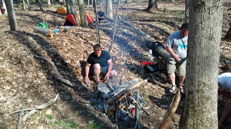
After happy hour it was time for a fire and dinner.
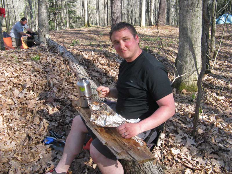
J.D.V. with steak, potatoes and onions cooked in the fire for dinner.
Looking down to our campsite as the sun was going down. It was a nice end to the day, the only bad part was that we ran out of beverages about 2 hours early so it was an early bedtime. The night started out warm, but it cooled off later. I woke up around 2 a.m. and had to put more clothes on to stay warm.
In the morning we had an easy breakfast and made quick work of packing up camp . It was good that we only had a short hike out and a short drive back home. When we first picked the date for the trip I didn’t realized that it was Mother’s Day…this must be why everyone had this weekend open. Photo by: J.D.V.
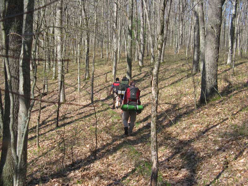
Heading through the big blow down area and back to the trailhead. We were back to the truck by about 9:30 and back home in plenty of time to see mom for lunch.
The whole trip went off without any incidents. Although, when we got back to the truck there was a notice under my wiper that we needed to pay the $5 day use fee. Also, when my phone was charged and I turned it back on there was a voicemail from my wife. She had a call earlier in the morning from the non-emergency 911 dispatch out of Hesperia. Apparently someone saw my truck in the parking area on Saturday and then noticed that it was still there Sunday morning so they called and reported it. I guess they thought someone was lost in the woods. My wife told them that getting lost in the woods was actually our plan and that she was not concerned so they called off the sheriff that was heading out to Pines Point to investigate. I guess they do not get very many overnight visitors to this area.
Update: Because of this we advised another group to let the campground host know of their plans to park overnight. Unfortunately, when they did this, the host made them pay for a campsite for the night to park their car on. Hopefully this policy will change in the future.
The GPS track of the first half of our hike. The 1st pin is the trail up to the top of the high bank. The 2nd pin is our campsite and the 3rd is the other campsite option where we turned around on our afternoon hike. It looked like the trail continued on past here so we will have to come back again to explore further.
Click here for the full screen version of this map >>
Directions to the White River trailhead >>
![]()
![]()
![]()
![]()
![]()
Our Favorites:
prAna Zion Stretch Shorts
The prAna Zion Stretch are without a doubt the best shorts I have ever owned. I already have 3 colors and now that they started making them in black, I will soon be up to 4. I originally bought them for hiking, but now I wear them for just about everything. Add a liner short and they become the perfect baggy mountain biking shorts. Need something to wear into town for dinner? No problem.
Find prAna Zion Stretch Shorts on Amazon >>

Advertising Disclosure: We may receive a commission if you click a link on our site and purchase one of the products or services that we recommend.
Leave a Reply