Winter camping on the Silver Creek Pathway – February 6-7, 2016
For this year’s winter camping trip we went back to the Silver Creek Pathway just north of Luther, Michigan. When we were here back in 2014 the snow was so deep that we only were able to complete half of the loop. This time the conditions were almost perfect with about a foot hard packed snow covered with a couple inches of fresh powder.
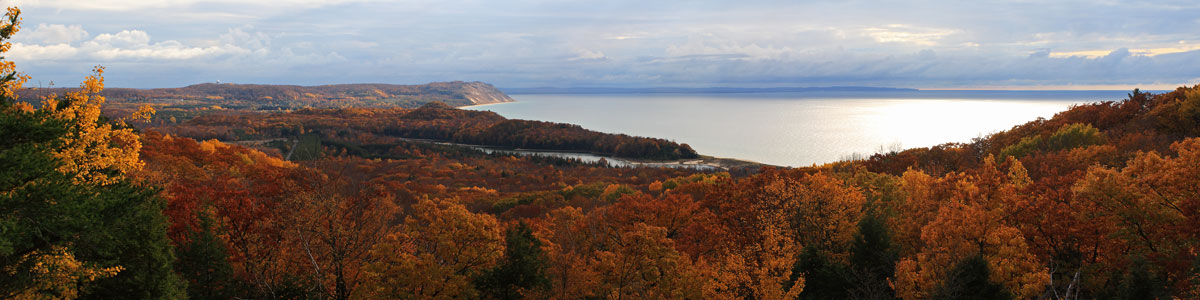
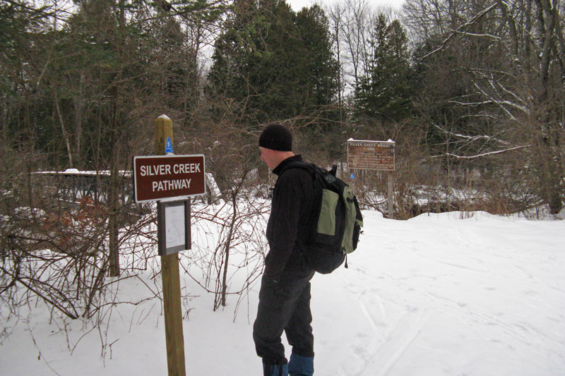
About the Silver Creek Pathway: The Silver Creek Pathway makes a 4 mile loop along the banks of the Pine River. It is made possible by two foot / ORV bridges placed at each end of the of the loop. The main trailhead is in the Silver Creek State Forest Campground. The trail starts by crossing the Silver Creek bridge over to the west side of the Pine River. For the next 2 miles you follow the west banks of the river until you drop down to the Lincoln Bridge crossing. Some of the better hike-in camping spots are about a mile in along this side of the loop when the tail drops down to the river level. At Lincoln Bridge you will find a boat launch and another 9 site rustic campground. Continuing on along the east side of the river the trail climbs up high on the banks offering some of the best overlooks of the hike. At about a 3.5 miles the trail starts dropping back down to the river and you cross 2 small creeks as you near the end of the loop. The second bridge is Silver Creek and from here is a just a short distance back to the campground and the trailhead.
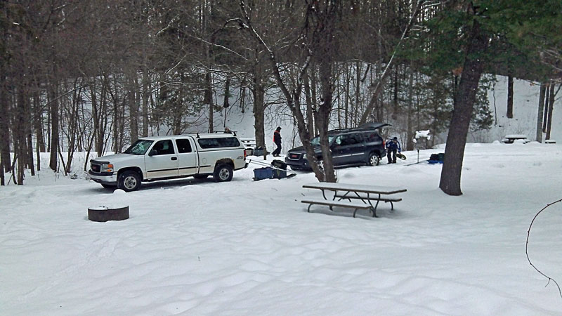
The last time we were here we had to shovel out a couple parking spaces along the road at the entrance to the campground. This year we could drive in and park in one of the campsites. There were a few other tire tracks going through the campground loop, but you probably would not want to try it without 4 wheel drive.
The campground here has 26 rustic sites, pit toilets and a hand pump for water. The toilets were still open in the winter if you need to make a pit stop before heading out on the trail.
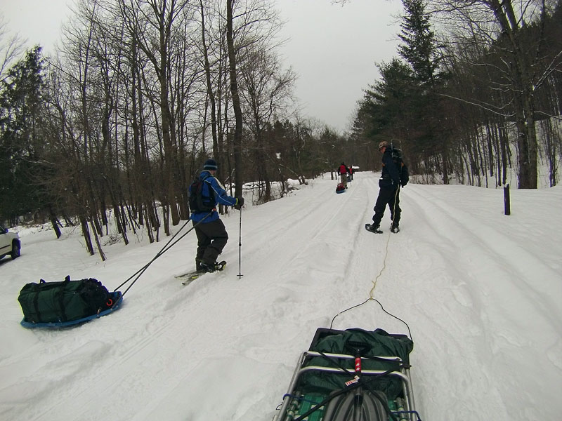
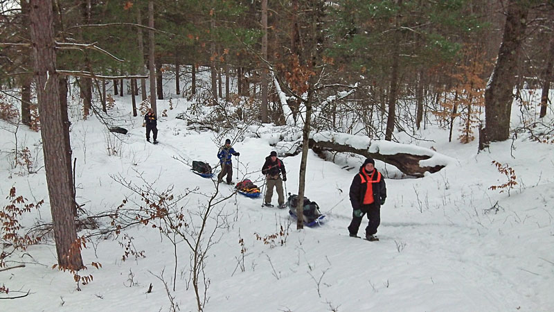
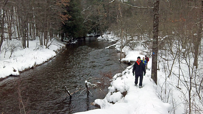
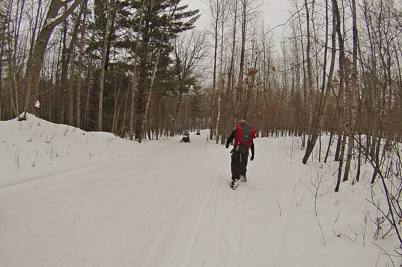
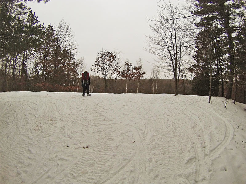
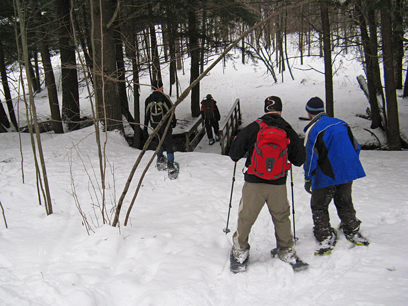
By 10 a.m. we had the sleds loaded up and were heading out through the Silver Creek Campground.
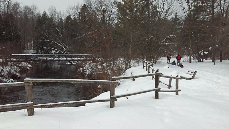
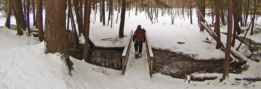
Approaching the trailhead at the first bridge crossing over to the west side of the Pine River.
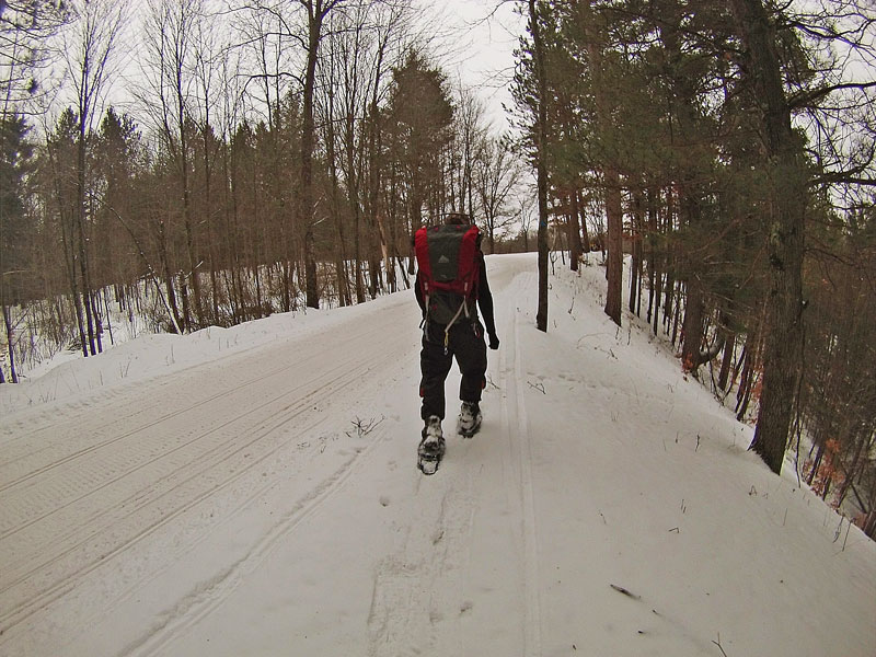
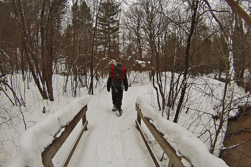
After crossing the main bridge and 2 small creeks, the trail swings away from the river and starts gaining a little in elevation. When you get back along the river, you are about 30 feet above the water.
The only challenging part comes around the half mile mark when the trail drops down a steep hill along the edge of the river. We all made it down without any incidents, but if you lost control of your sled here, things could get bad real fast. Photo by: J.D.V.
A short distance past the hill, the trail cuts past a long peninsula. This looked like it may be another good camping spot.
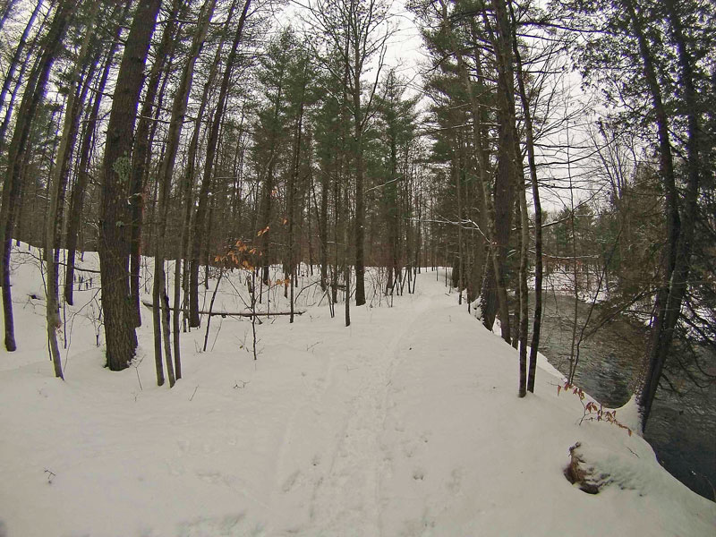
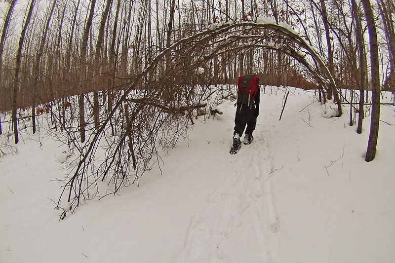
Continuing on along the river banks.
Our preferred camping spot is about 1 mile in when the trail drops down right along the river.
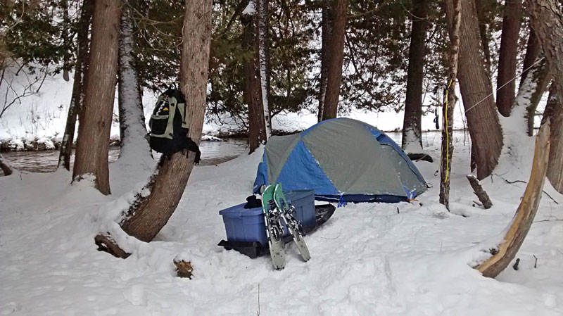
My winter camp setup under the cedar trees, just a few steps from the Pine River.
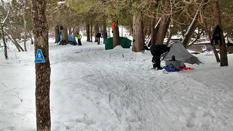
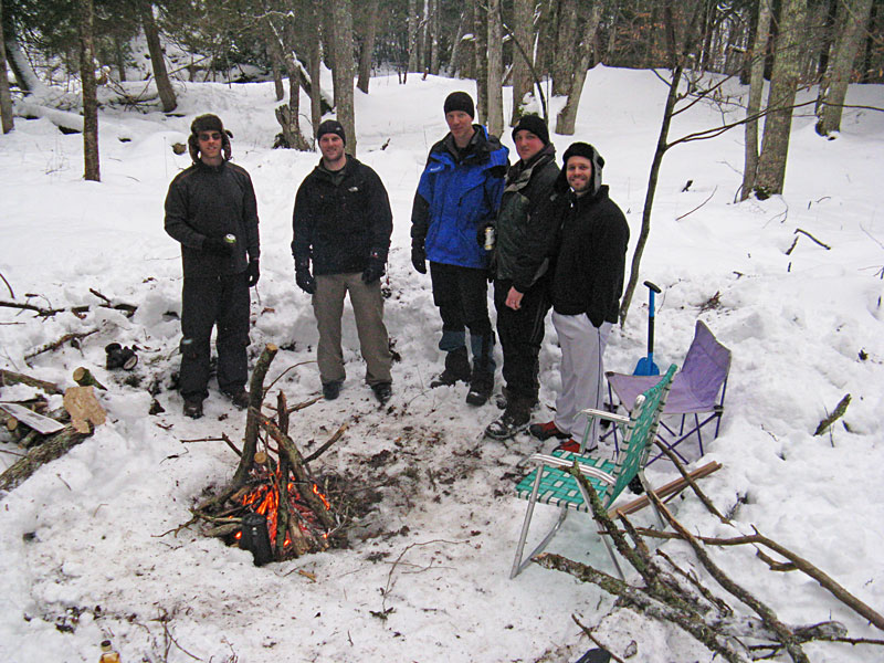
Looking over to the rest of our campsite.
After getting things setup, we ate lunch and went out to snowshoe the rest of the Silver Creek Pathway.
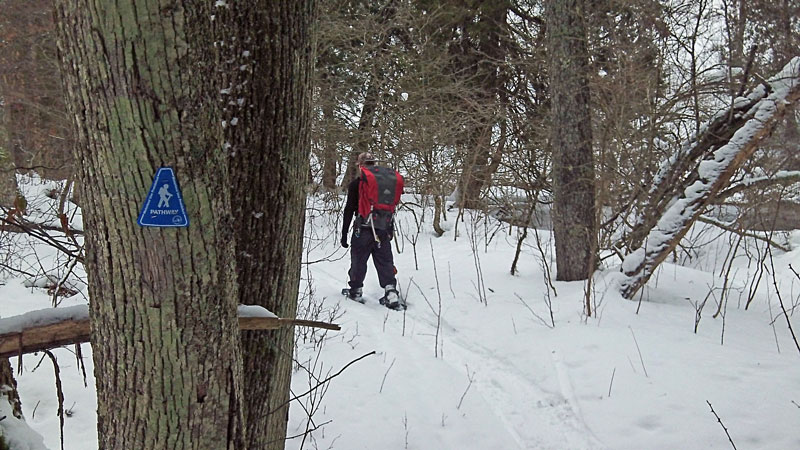
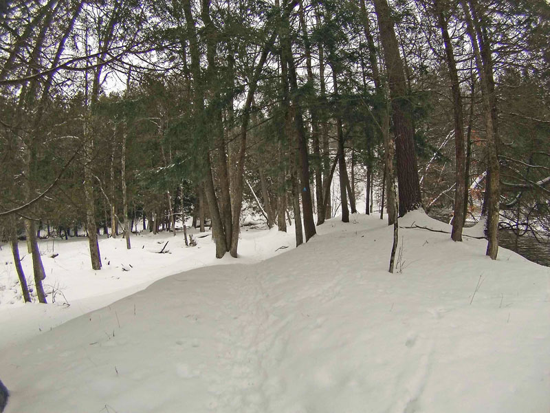
It looked like the trail markers had been freshened up since our last visit, making it much easier to stay on track in the snow.
About a 0.5 mile from our camp, or 1.5 miles into the loop, the trail swings away from the river for a while and then starts to climb up a valley. The last time we were here we lost the trail and ended up doing a much steeper climb right along the river. Following the new markers made this section a lot easier.
After walking along a tall ridge without a view of the river for about a 1/4 mile, the trail gets back to the water and a scenic S-bend view.
As you start dropping back down towards Lincoln Bridge, the pathway parallels the snowmobile trail for a short section.
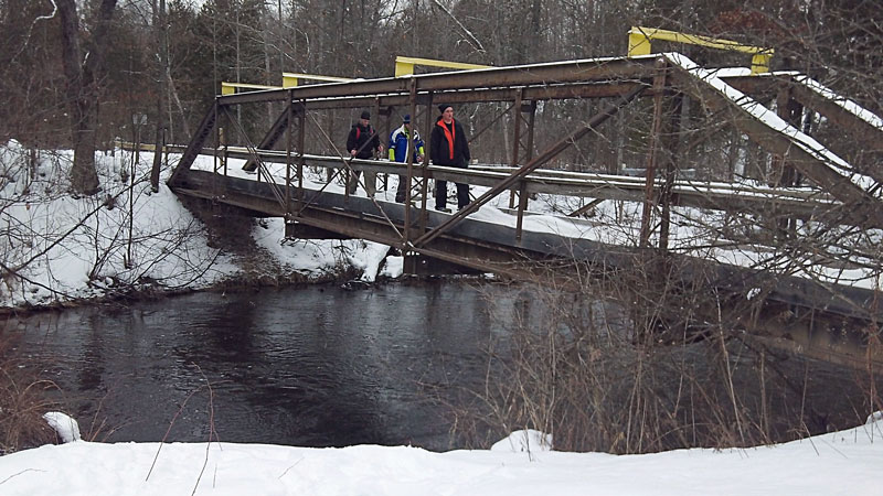
Crossing over to the east side of the Pine on Lincoln Bridge.
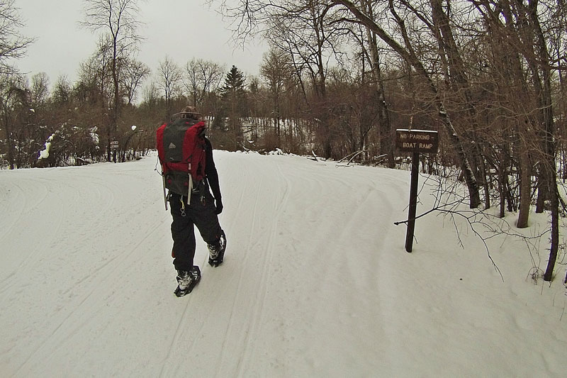
After crossing the bridge, we continued up the road and took the first right to cut over to the boat launch parking area. You will find a trail marker and map at the south end of the parking loop. In addition to the canoe landing, there is a 9 site rustic campground and pit toilets are also available.
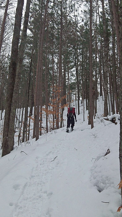
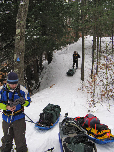
After running along the river for a short section, the trail heads inland and then makes the toughest climb of the loop, about 0.4 miles from Lincoln Bridge.
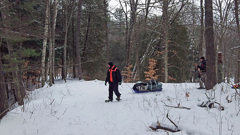
The reward at the top of the climb. As you can see from the tracks this is also a popular snowmobile pull-off.
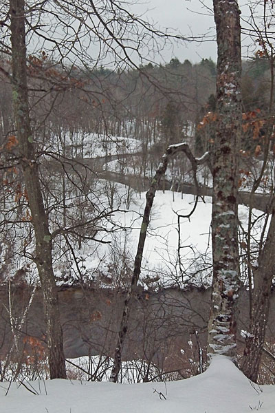
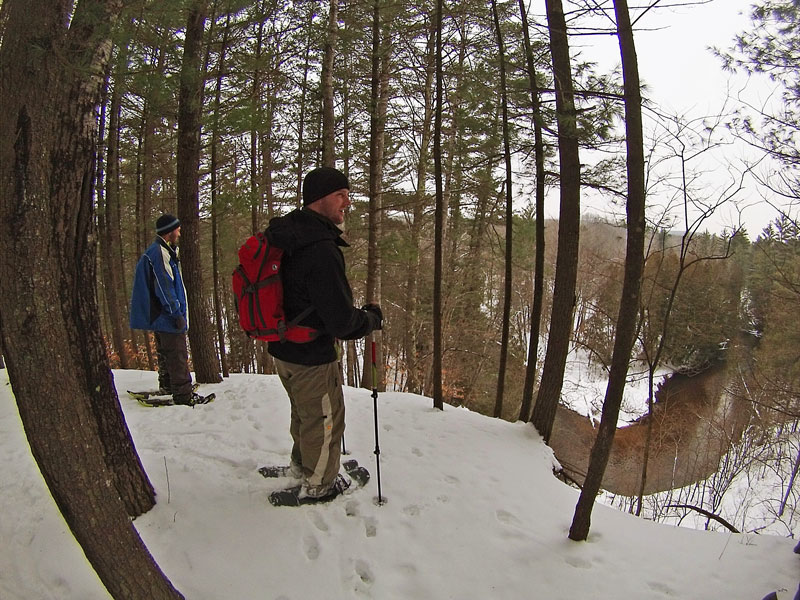
The next 0.5 mile of hiking offers some of the best views of the trip. There are several overlooks were you get a nice view of the Pine Valley and the River about 80 feet below.
There is one more short section where the Silver Creek Pathway shares the snowmobile trail.
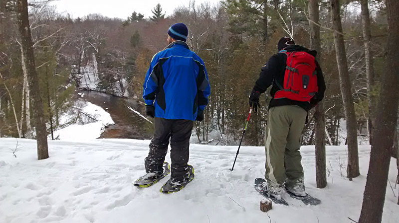
Checking out our campsite from the other side of the river. You can’t see our tents in this photo, but they are under the grove of cedar trees just back from the point.
Resting at one of the last overlooks.
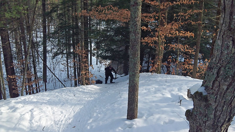
Crossing an unnamed creek as the trail drops back down into the valley. Photo by: J.D.V
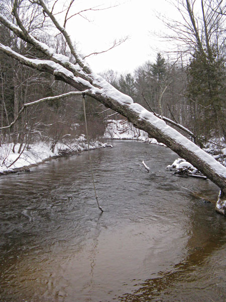
At about 1.9 miles from Lincoln Bridge or 3.9 into the loop, you finally cross the trail’s namesake bridge over Silver Creek.
At the mouth of Silver Creek. Photo by: J.D.V.
After Silver Creek it is only about a tenth of a mile to get back to the main trailhead. Photo by: J.D.V.

From here we had an easy mile hike back to camp on a trail which was nicely groomed by us pulling in our sleds in the morning.
For more on the Silver Creek Pathway see: Explorer’s Guide 50 Hikes in Michigan: Sixty Walks, Day Trips, and Backpacks in the Lower Peninsula
A GoPro time lapse video of the entire Silver Creek Pathway.
Back at camp we lit the fire, stock piled some more wood, and got ready to settle in for the night. Photo by: J.D.V.

This gave me a chance to test my new pocket chain saw. After breaking 3 of the folding saws over the years I decided give this a try. So far I am happy with this purchase. It cuts fast and seems more durable than the lightweight folding saw options.
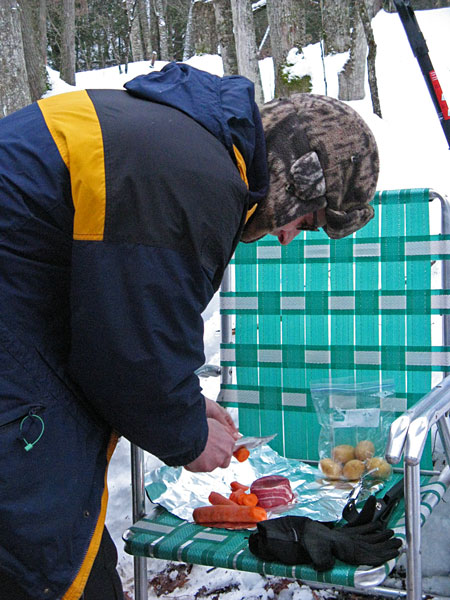
Before long it was time to get dinner going.
The photo above is a good example of the benefits of winter camping and the extra comfort items you can drag in with a sled. Photo by: J.D.V.
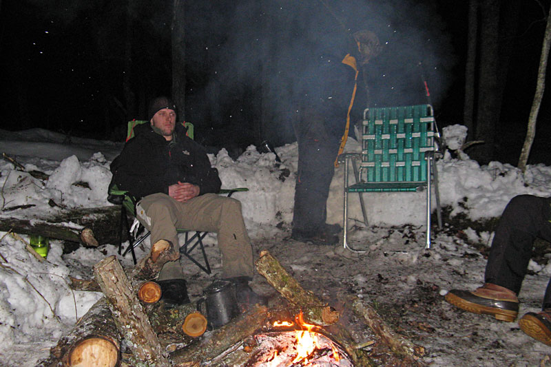
The evening was calm and just right for kicking back by the fire. When the flasks of whiskey were gone, it was time to switch to the sleeping bags to keep us warm. Photo by: J.D.V.

It was a nice calm night for sleeping and the small rapids on the river gave us some good background noise. In the middle of the night I did wake up with cold feet, but a hand warmer pack in the bottom of my bag quickly fixed that problem.
It felt like the temperature started to rise to around freezing in the early morning . We had an easy breakfast by the fire and then it was time to pack up camp and head towards home. It was nice to not get freezing cold fingers while packing everything up, but all my gear was pretty wet when I unpacked it back at home.
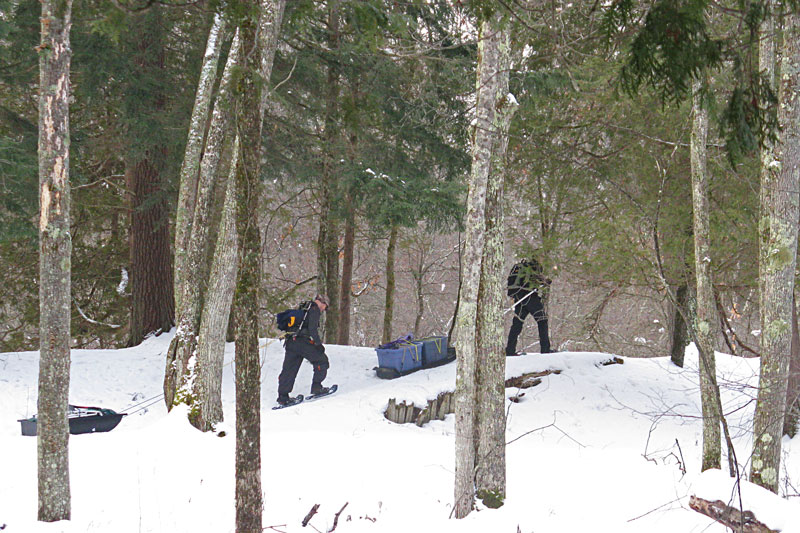
Dragging the sleds back up the big hill. The sun even made rare appearance, making for a pleasant hike back to the vehicles.
The Silver Creek Pathway remains one of my favorite winter camping locations. The 1 mile hike to a secluded campsite on the Pine River is just right in the snow. The 4 mile loop has nice views and is a good length for an afternoon hike. It is best to plan shorter distances in the winter because some snow conditions can really slow your progress and the day light fades quickly. The only problem with doing a winter trip here can be parking when the snow is deep.
Directions to the Silver Creek Pathway trailhead >>
See our other visits to the Silver Creek Pathway >>
To learn more about doing trips like this, see our: Winter Camping Gear List and Tips Page.
![]()
![]()
![]()
![]()
![]()

Our Favorites:
For Winter Camping I Would Recommend My: Outdoor Research Gators, SmartWool Base Layer
and you can’t forget the Heavyweight SmartWool Socks.
While all of this gear is nice to have, if you would ask me: What is the one thing that will help you stay comfortable when winter camping? My answer would have to be: Hand and Foot Warmer Packs.
Put a couple of these in your sleeping bag and you will stay nice and toasty all night. In the morning put a pair of foot warmers in your frozen boots and your toes will be happy. Wet gloves, no problem they will keep your hands warm and help dry them faster. I am personally partial to the Grabber Brand because they are based right in West Michigan.
Search for hand warmers on Amazon>>
Advertising Disclosure: We may receive a commission if you click a link on our site and purchase one of the products or services that we recommend.
Leave a Reply