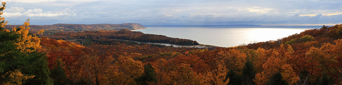
Hiking the Chapel Loop – August 26, 2010
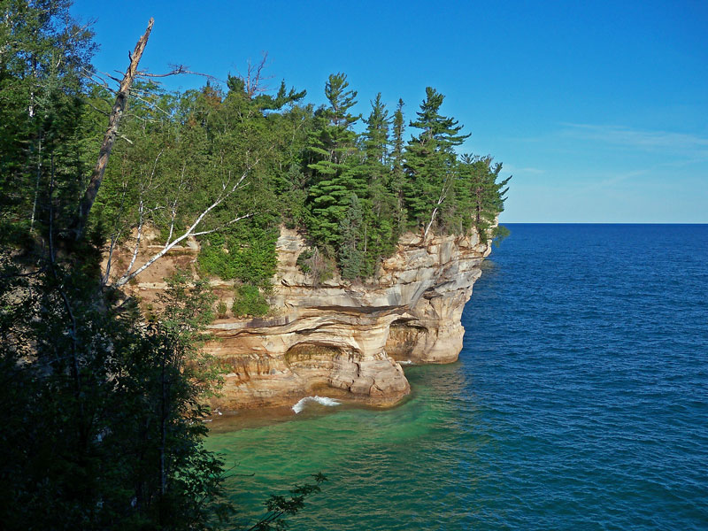
If you are looking for the best loop to day hike in Michigan, try the Chapel Loop in Pictured Rocks National and you will not be disappointed. This 10.4 mile loop passes 2 waterfalls and the middle segment follows the famous Lakeshore Trail along the top of the Pictured Rocks Cliffs for 4.4 miles. This section of the Lakeshore Trail offers a spectacular view almost every step of the way, but you must also watch your step because at times you are only a few feet from the edge of the sandstone cliffs. This hike can also be turned into an easy overnight outing by staying at the backcounty campgrounds located by Chapel Beach or Mosquito Beach. Words really can’t explain how awesome this scenery is, so I will stop writing and let the pictures do most of the talking.
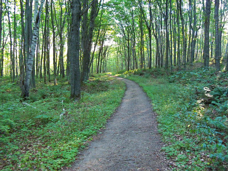
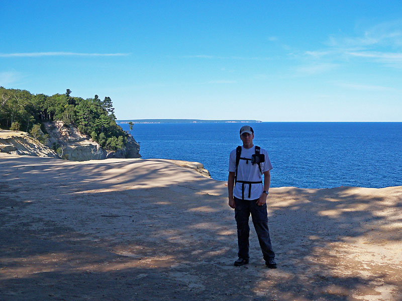
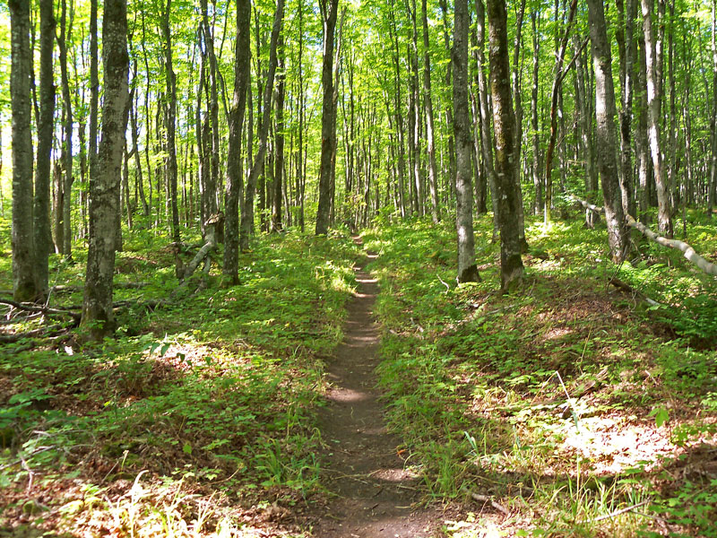
I hiked the loop in the counterclockwise direction. The first 1.3 miles from the parking area to Chapel Falls is an easy walk on an old road or railroad bed.
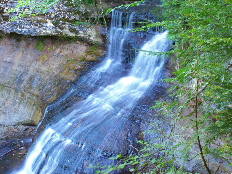
The first view of Chapel Falls is from a platform near the top of the cascade.
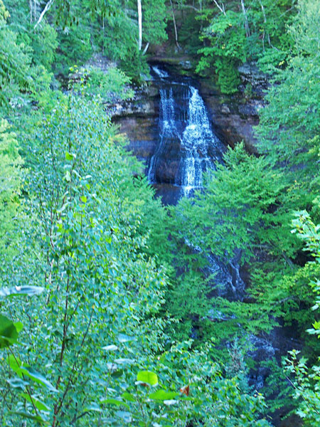
The trail then loops around for another view of the falls trough the trees. Chapel Falls is 60 feet tall, but when I was here the view was partially obstructed by the trees. Early spring or late fall is probably a better time to see this waterfall.
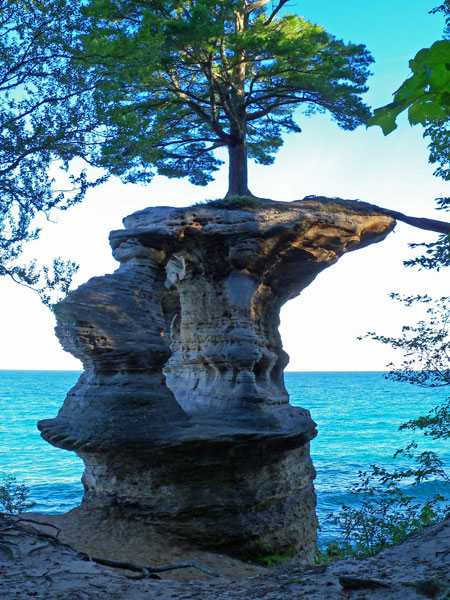
In another 1.8 miles you reach the intersection with the Lakeshore Trail and Chapel Rock. The tree on the top has a big root that goes across the gap to the mainland and this is were it gets most of it’s water and nutrients. I read that at one time this root ran on top of an arch that has since collapsed. It is hard to believe this tree survives on top of this rock on the edge of Lake Superior.
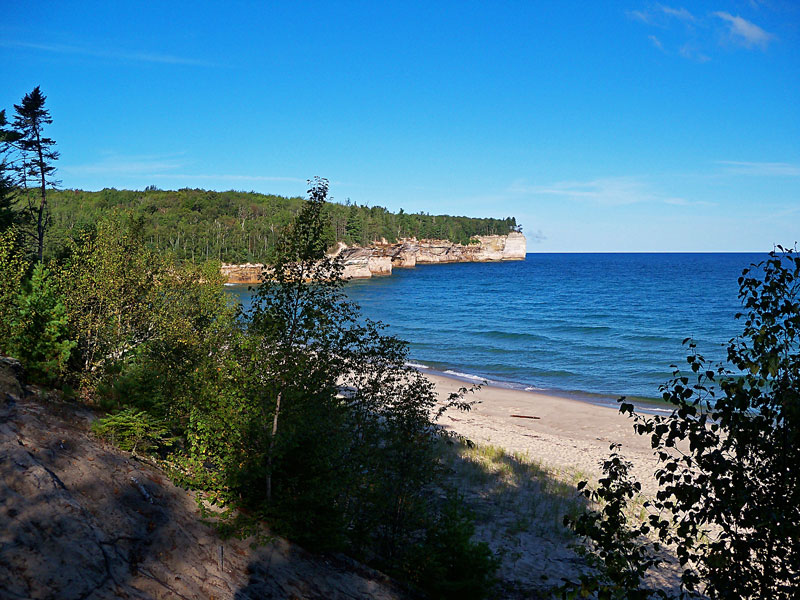
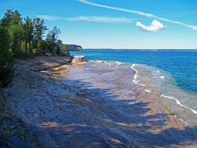
Just past Chapel Rock is the start of Chapel Beach. This is also the location of the first hike-in campground.
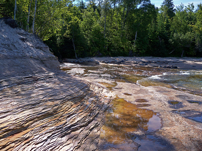
The morning sun on the rocks near Chapel Beach.
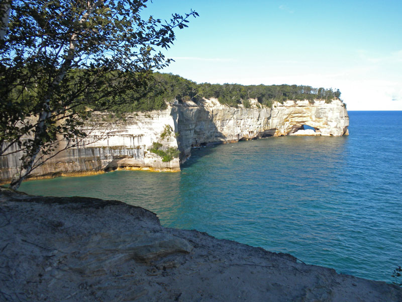
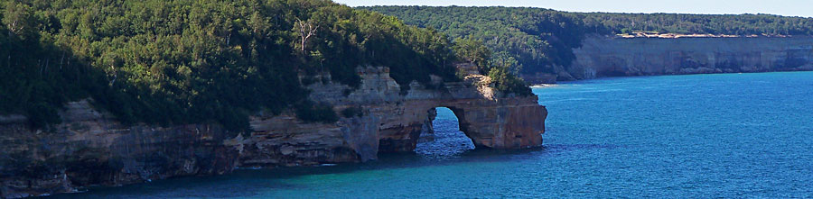
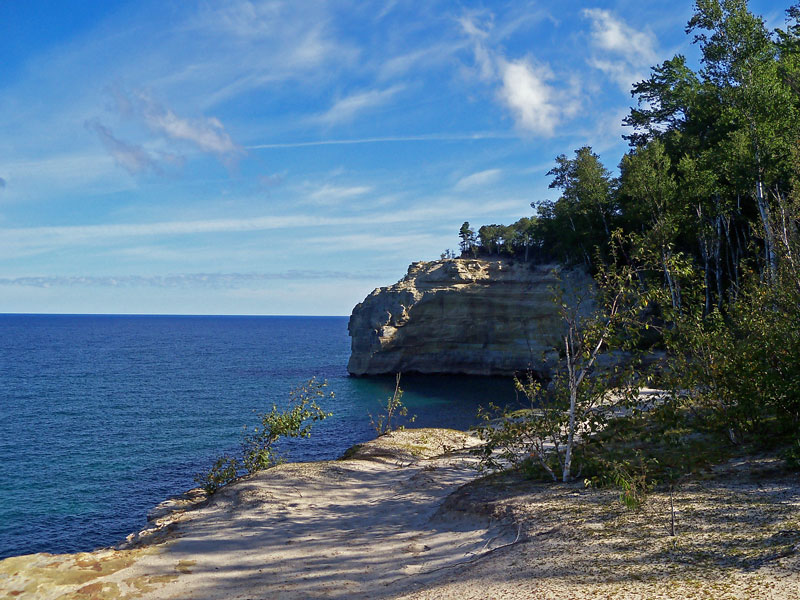
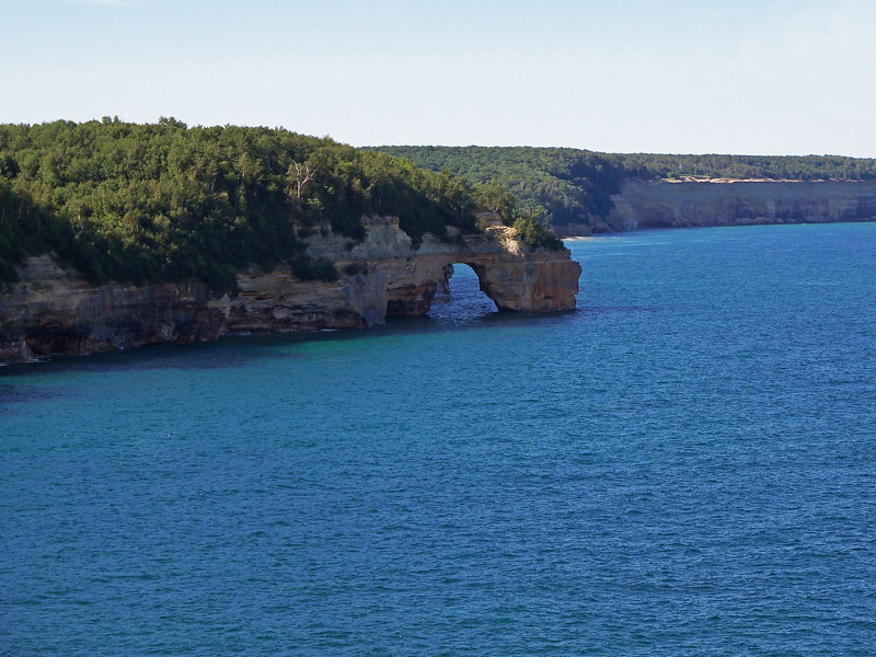
Approaching Grand Portal Point on the Lakeshore Trail.
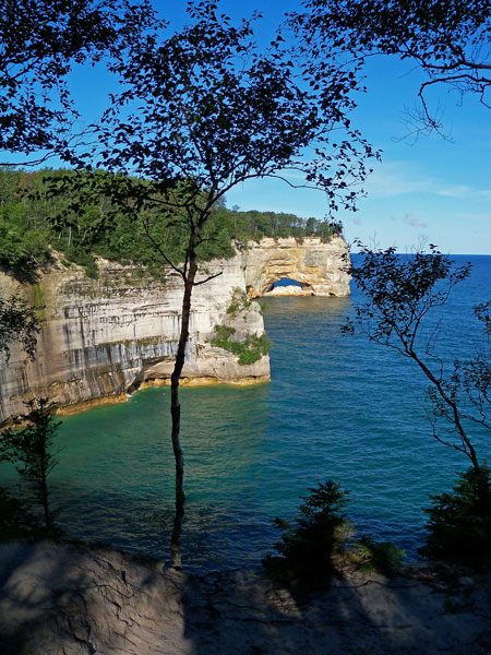
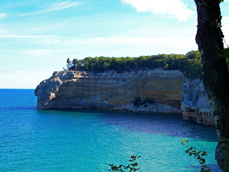
Another angle of Grand Portal Point.
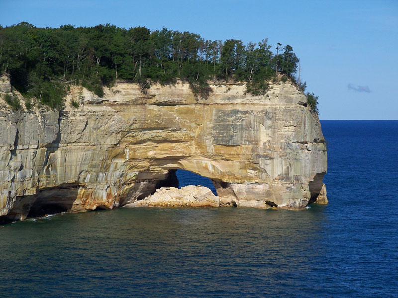
The sandstone walls are constantly changing. The Grand Portal Point roof collapsed sometime between the fall of 1999 and spring 2000 partially filling in the arch. For some more interesting information on this collapse and one that happened way back in 1900 check out the this blog post for Munising resident Jonathan Gennick >>
The beach on the top of Grand Portal was a good place for a short rest. It is 1.5 miles from Chapel Beach and 4.6 miles from the trailhead.
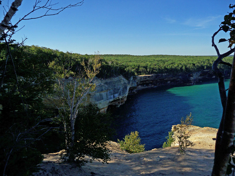
The view looking west towards Grand Island from the top of Grand Portal Point.
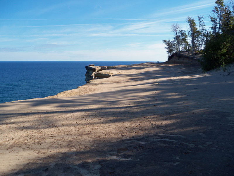
Indian Head is the next named rock formation that you the come to on the Lakeshore Trial.
One more shot looking back to Indian Head from a little further down the trail.

The Lakeshore Trail is fairly easy walk on a single track that is often only a few feet from the edge of the cliffs.
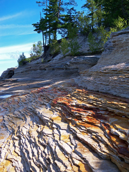
Darker stained rocks along the trail.
The sea arch known as Lover’s Leap on the way to Mosquito Beach.
Rock shelves just under the water as you start dropping down towards Mosquito Beach.
A sea stack by mosquito beach.
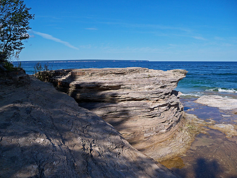
The sand stone layers near Mosquito Beach.
The Mosquito Creek flowing over the sandstone and out into Lake Superior. The other backcounty campground is located nearby.
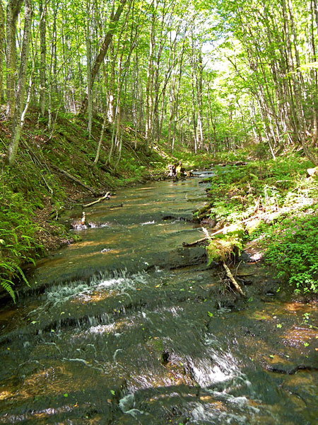
After crossing the Mosquito Creek you turn off the Lakeshore Trail and starting heading inland towards Mosquito Falls. There is another trail just before the creek that will take you back to the parking area in 1.9 miles. By continuing on to the Mosquito Falls trail it is a 2.6 mile walk back to the trailhead.
Crossing Mosquito Creek just before the falls.
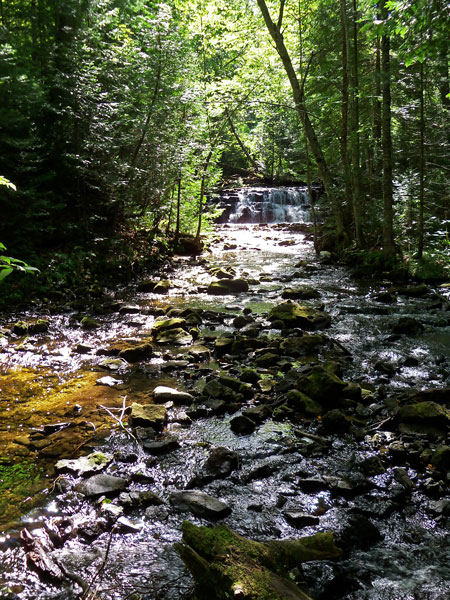
Looking up stream to the Mosquito Falls.
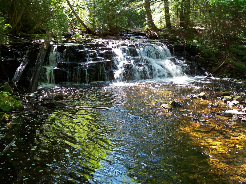
Mosquito Falls is one of the smaller waterfalls in Pictured Rocks National Lakeshore at about 10 feet tall.
It was probably because I was getting tired, but the trail from the Mosquito Falls back to the parking area seemed like some of the toughest of the entire hike. Most of the loop is fairly flat walk without too many rocks or roots until this section.
The Chapel Loop trail map. If the map does not show above click here >>

The 10.4 mile loop took just under 4 hours to complete and is definitely on the top of my favorite hikes list.
When I started at 7:45 am the parking area only had 3 cars left overnight by backpackers. I only saw a couple other people along most of the trail and they were by the back county campgrounds at Miner’s Beach and Mosquito Beach. By Mosquito Falls it started to get busy and when I got back to the parking area it was completely full and cars were starting park up the sides of the road. If you plan to do this hike an early start is recommended.
Directions to the Chapel Area trailhead >>
For more on the Chapel Loop and other Pictured Rocks Hikes see: Hiking Michigan’s Upper Peninsula: A Guide to the Area’s Greatest Hikes (Regional Hiking Series)
![]()
![]()
![]()
![]()
![]()
Our Favorites:

Backpacking in Michigan has always been one of my favorite Michigan guidebooks. It highlights 50 trails that range from an easy overnight at the hike-in sites at Ludington State Park to a week long adventure on Isle Royale. I have read it cover to cover at least a couple times and have found that it is also a good resource for planning shorter day hikes on portions of the the trails.
Like all of the books written by Mr. DuFresne, there are well written trail descriptions and nice maps of each outing. This book also includes 65 photos.
Find Backpacking in Michigan on Amazon >>
Advertising Disclosure: We may receive a commission if you click a link on our site and purchase one of the products or services that we recommend.
Wanda Bowring
Really enjoyed reading your post. Thank you. PS I have never been hiking in my life. I think I’m a closet hiker for I keep stalking those that do. :0)
MyMichiganTrips
Give it a try. It is just like going for a walk, but better…
Terpdarci
That link to the trail head took us to the road commission 38 minutes away.
MyMichiganTrips
Sorry, it worked for us. Google can sometime be a little off in the UP.
Dan
Great write up and thanks for posting. I’m coming from Cleveland in a few months and have had this one on my radar for years. Finally going to be able to tackle. Can’t wait!
MyMichiganTrips
Awesome! We are planning to hike it again this summer with our family too.